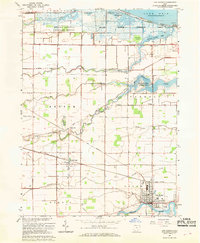
1967 Map of Oak Harbor
USGS Topo · Published 1968About this map
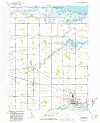
Lake Erie defines the northern reaches of this coastal landscape, where the Ottawa National Wildlife Refuge and Magee Marsh Wildlife Area protect a complex network of wetlands and inlets including Crane Creek and Turtle Creek Bay. In the 1960s, the village of Oak Harbor sits at the junction of the Portage River and the Penn Central railroad, serving as a hub for the surrounding agricultural townships. The interior is marked by small settlements like Rocky Ridge and Limestone, connected by a grid of rural routes such as Walbridge Road and Trowbridge Road. Local genealogy is anchored by several rural institutions, including Waters School and St Joseph Cemetery. The map captures the industrial and natural balance of the era, from the flowing waters of the Toussaint River to the presence of oil wells and a municipal Sewage Disposal plant.
Find a feature on this map
47 named features on this map. Tap any name to fly to it.
Don’t see what you’re looking for? This feature index may not catch every label — zoom into the map to look around manually.
Map Details
Editions of this 1967 Oak Harbor Map
2 editions found
Other maps of this area

1900 · Maumee Bay
USGS Topo · 1:62,500

1900 · Oak Harbor
USGS Topo · 1:62,500

1901 · Fremont
USGS Topo · 1:62,500

1901 · Elmore
USGS Topo · 1:62,500

1903 · Fremont
USGS Topo · 1:62,500

1903 · Elmore
USGS Topo · 1:62,500

1934 · Reno Beach
USGS Topo · 1:24,000

1935 · Genoa
USGS Topo · 1:24,000
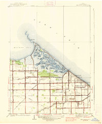
1938 · Reno Beach
USGS Topo · 1:31,680
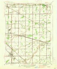
1938 · Genoa
USGS Topo · 1:31,680