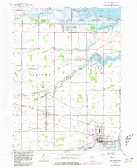
1967 Map of Oak Harbor
USGS Topo · Published 1981About this map
Lake Erie marshlands and the fertile plains of Ottawa County define this landscape, where the Portage River flows through the village of Oak Harbor. This 1967 survey, revised with 1980 updates, captures a complex network of coastal wildlife management areas, including the Ottawa National Wildlife Refuge and Magee Marsh Wildlife Area. These protected wetlands contrast with the grid of drainage ditches and creeks like Turtle Creek and Packer Creek that support the surrounding agricultural townships.
Find a feature on this map
49 named features on this map. Tap any name to fly to it.
Don’t see what you’re looking for? This feature index may not catch every label — zoom into the map to look around manually.
Map Details
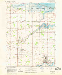
Editions of this 1967 Oak Harbor Map
2 editions found
Other maps of this area

1900 · Maumee Bay
USGS Topo · 1:62,500

1900 · Oak Harbor
USGS Topo · 1:62,500

1901 · Fremont
USGS Topo · 1:62,500

1901 · Elmore
USGS Topo · 1:62,500

1903 · Fremont
USGS Topo · 1:62,500

1903 · Elmore
USGS Topo · 1:62,500

1934 · Reno Beach
USGS Topo · 1:24,000

1935 · Genoa
USGS Topo · 1:24,000
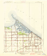
1938 · Reno Beach
USGS Topo · 1:31,680
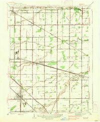
1938 · Genoa
USGS Topo · 1:31,680