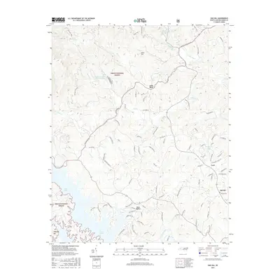
2016 Map of Oak Hill
USGS Topo · Published 2016About this map
Glen Alpine and the expansive northern waters of Lake James anchor this 2016 survey of Burke County. The landscape is defined by the sharp transition from the Catawba River valley into the steep terrain of the Pisgah National Forest, where landmarks like Table Rock and Miller Mtn overlook a network of creek drainages. Significant water features such as Upper Creek, Irish Cr, and Canoe Cr carve through the woodland, while smaller settlements like Oak Hill and Gold appear along the road corridors leading away from the mountain front. This survey provides a modern look at how suburban development from Glen Alpine has moved toward the forest boundary, contrasting with the protected wilderness areas and technical sites like the Table Rock Fish Hatchery Lake.
Find a feature on this map
95 named features on this map. Tap any name to fly to it.
Don’t see what you’re looking for? This feature index may not catch every label — zoom into the map to look around manually.
Map Details
Editions of this 2016 Oak Hill Map
This is the sole edition of this map. No revisions or reprints were ever made.
Other maps of this area
1905 · Morganton
USGS Topo · 1:125,000
1934 · Linville Falls
USGS Topo · 1:24,000
1953 · Charlotte
USGS Topo · 1:250,000
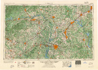
1954 · Charlotte
USGS Topo · 1:250,000
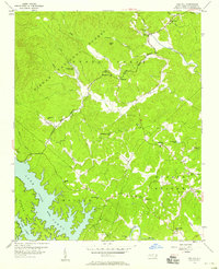
1956 · Oak Hill
USGS Topo · 1:24,000
1956 · Collettsville
USGS Topo · 1:24,000
1956 · Morganton North
USGS Topo · 1:24,000
1956 · Ashford
USGS Topo · 1:24,000
1956 · Linville Falls
USGS Topo · 1:24,000
1956 · Morganton South
USGS Topo · 1:24,000