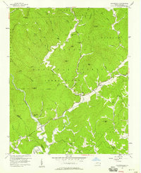
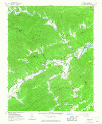
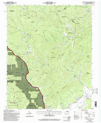
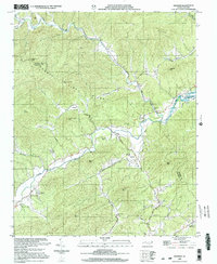
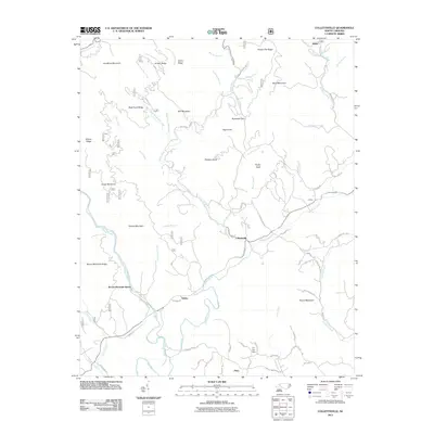
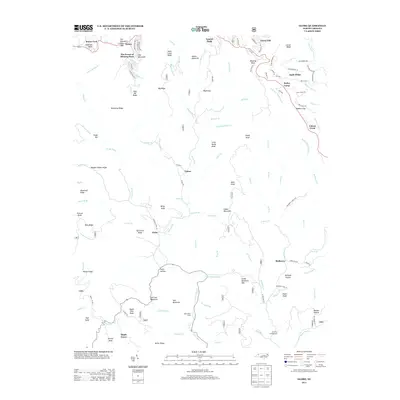
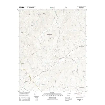
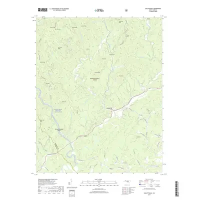
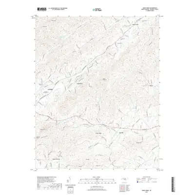
1956 Map of Collettsville
USGS Topo · Published 1958About this map
Collettsville sits at the confluence of the Johns River and Mulberry Creek in this mid-century survey of western Caldwell County. The landscape is defined by the sharp transition from the valley floor to the high ridges of the Pisgah National Forest, where features like Sand Mtn Lookout Tower and High Knob overlook the narrow hollows. The map records a rural network of community landmarks, particularly the numerous country churches such as Green Valley Ch, Mulvale Ch, and Fleming Chapel.
Find a feature on this map
67 named features on this map. Tap any name to fly to it.
Don’t see what you’re looking for? This feature index may not catch every label — zoom into the map to look around manually.
Map Details
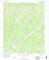
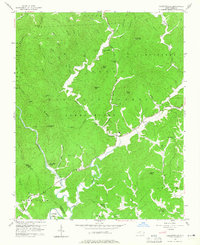
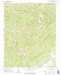
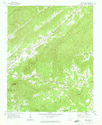
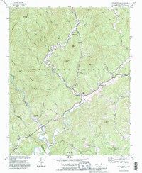
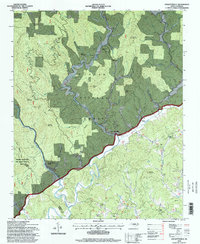
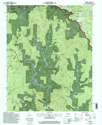
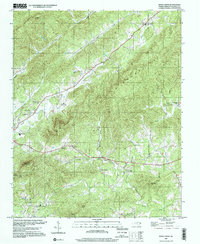
Editions of this 1956 Collettsville Map
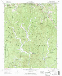
Historical Maps of Collettsville Through Time
36 maps found
1956 Collettsville
Caldwell County, NC
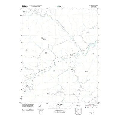
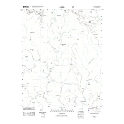
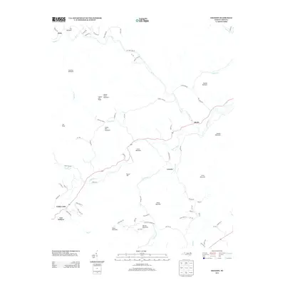
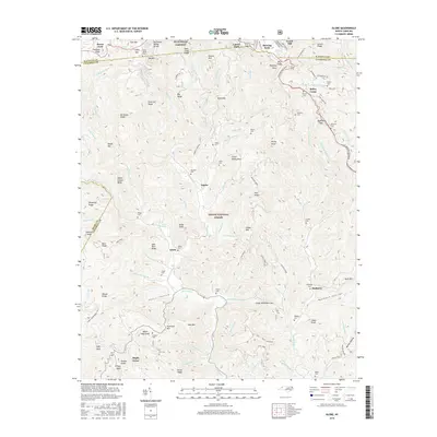
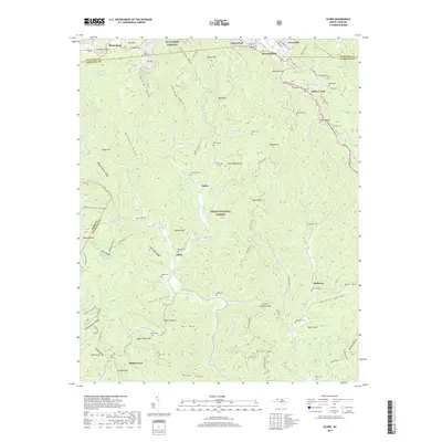
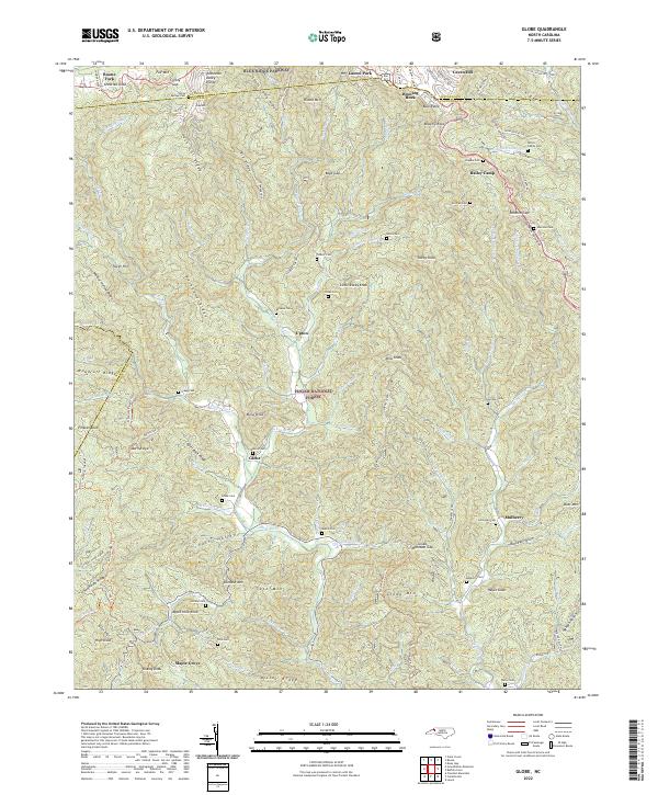
1959 Globe
Caldwell County, NC
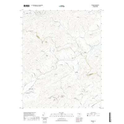
1966 Grandin
Caldwell County, NC
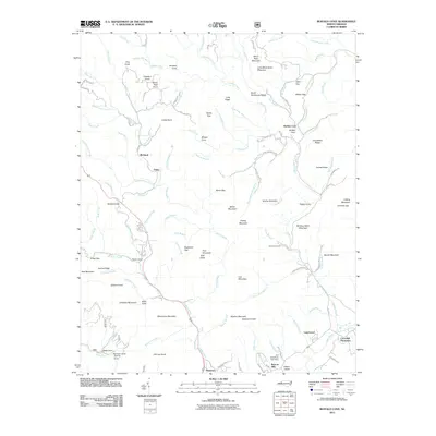
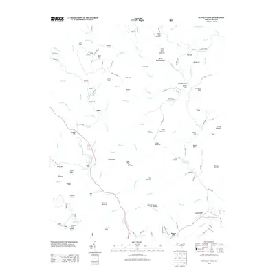
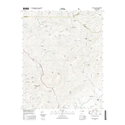
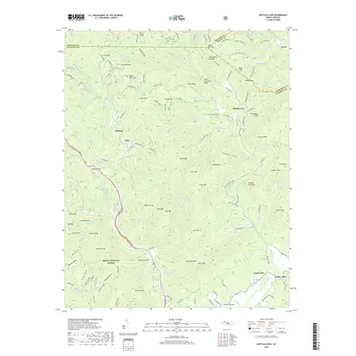
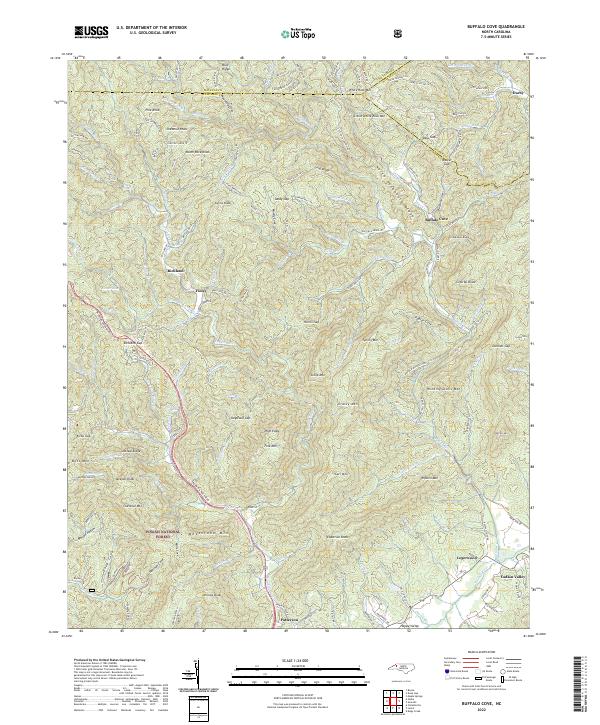
1967 Buffalo Cove
Caldwell County, NC
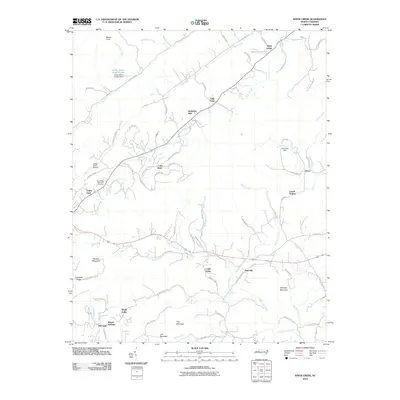
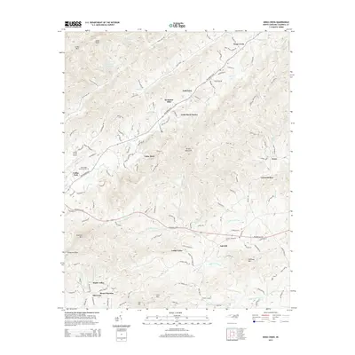
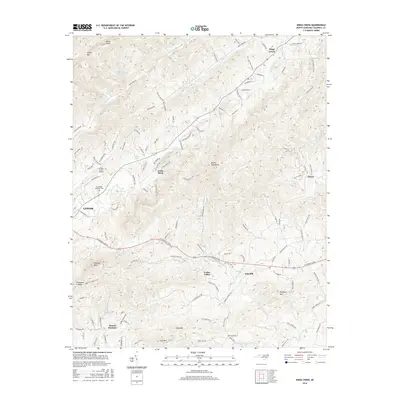
1970 Kings Creek
Caldwell County, NC
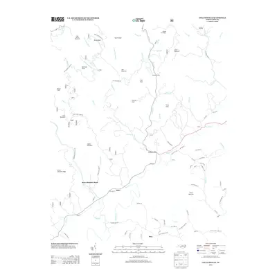
1993 Collettsville
Caldwell County, NC
1994 Buffalo Cove
Caldwell County, NC
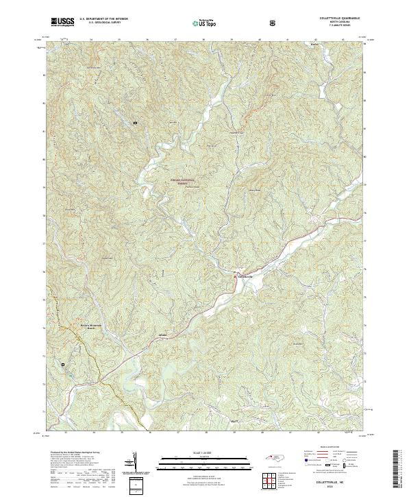
1994 Collettsville
Caldwell County, NC
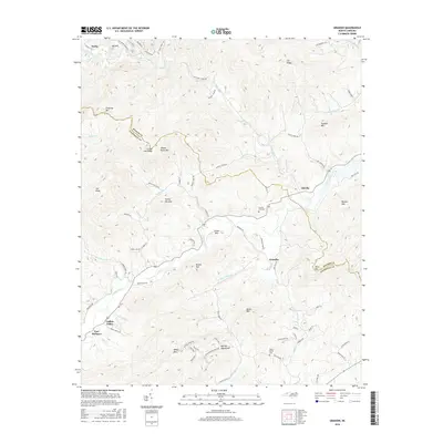
1994 Globe
Caldwell County, NC
1997 Kings Creek
Caldwell County, NC
2000 Grandin
Caldwell County, NC
2010 Grandin
Caldwell County, NC
2010 Kings Creek
Caldwell County, NC
2011 Buffalo Cove
Caldwell County, NC
2011 Collettsville
Caldwell County, NC
2011 Globe
Caldwell County, NC
2013 Buffalo Cove
Caldwell County, NC
2013 Collettsville
Caldwell County, NC
2013 Globe
Caldwell County, NC
2013 Grandin
Caldwell County, NC
2014 Kings Creek
Caldwell County, NC
2016 Buffalo Cove
Caldwell County, NC
2016 Collettsville
Caldwell County, NC
2016 Globe
Caldwell County, NC
2016 Grandin
Caldwell County, NC
2016 Kings Creek
Caldwell County, NC
2019 Buffalo Cove
Caldwell County, NC
2019 Collettsville
Caldwell County, NC
2019 Globe
Caldwell County, NC
2019 Grandin
Caldwell County, NC
2019 Kings Creek
Caldwell County, NC
2022 Buffalo Cove
Caldwell County, NC
2022 Collettsville
Caldwell County, NC
2022 Globe
Caldwell County, NC
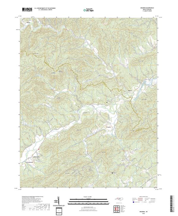
2022 Grandin
Caldwell County, NC
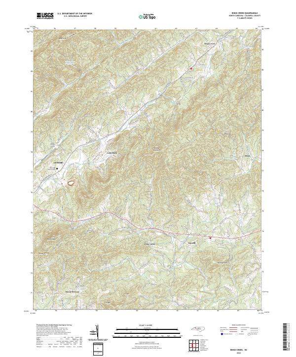
2022 Kings Creek
Caldwell County, NC