
1948 Map of Oak Hill
USGS Topo · Published 1960About this map
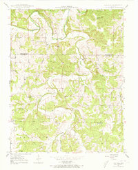
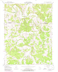
Bourbeuse River winds through the northern hills of this rural landscape, marking a terrain defined by deep valleys and scattered family homesteads. Situated along the boundary of Gasconade and Crawford Counties, the area shows a decentralized settlement pattern typical of the Missouri Ozarks in the late 1940s. While Oak Hill serves as a small community hub, the map reveals a dense network of local landmarks that suggest a once-active rural social life, including numerous one-room schoolhouses like Taylor Sch and Bailey Sch. Genealogists will find significant value in the sixteen identified burial grounds, ranging from larger sites like Carr Cem to smaller family plots such as Loeb Cem and McWilliams Cem. An Airway Beacon in the northeast and the presence of Knobview in the south provide unique navigational and geographical context for this post-war survey.
Find a feature on this map
41 named features on this map. Tap any name to fly to it.
Don’t see what you’re looking for? This feature index may not catch every label — zoom into the map to look around manually.
Map Details
Editions of this 1948 Oak Hill Map
3 editions found
Other maps of this area

1903 · Sullivan
USGS Topo · 1:125,000

1934 · Bland
USGS Topo · 1:62,500

1934 · Redbird
USGS Topo · 1:62,500

1935 · Gerald
USGS Topo · 1:48,000

1937 · Bland
USGS Topo · 1:62,500

1938 · Redbird
USGS Topo · 1:62,500

1941 · Gerald
USGS Topo · 1:62,500

1944 · Gerald
USGS Topo · 1:62,500

1948 · Cuba
USGS Topo · 1:24,000

1948 · Leasburg
USGS Topo · 1:24,000