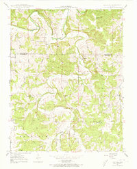
1948 Map of Oak Hill
USGS Topo · Published 1973About this map
The Bourbeuse River snakes through the northern reaches of this Crawford County landscape, defining a terrain of sharp ridges and deep hollows. Centered around the settlement of Oak Hill, the area shows a decentralized community structure typical of mid-century Missouri, where life was anchored by local institutions such as Oak Hill Sch and High Point Sch. The map records an extensive network of family and neighborhood burial grounds, including the Finnell Cem, McWilliams Cem, and Vaunt Pop Cem, providing a dense record for genealogical research.
Find a feature on this map
38 named features on this map. Tap any name to fly to it.
Don’t see what you’re looking for? This feature index may not catch every label — zoom into the map to look around manually.
Map Details
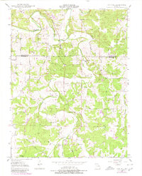
Editions of this 1948 Oak Hill Map
3 editions found

Other maps of this area

1903 · Sullivan
USGS Topo · 1:125,000

1934 · Bland
USGS Topo · 1:62,500

1934 · Redbird
USGS Topo · 1:62,500

1935 · Gerald
USGS Topo · 1:48,000

1937 · Bland
USGS Topo · 1:62,500

1938 · Redbird
USGS Topo · 1:62,500

1941 · Gerald
USGS Topo · 1:62,500

1944 · Gerald
USGS Topo · 1:62,500

1948 · Cuba
USGS Topo · 1:24,000

1948 · Leasburg
USGS Topo · 1:24,000