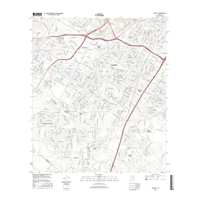
2016 Map of Oak Hill
USGS Topo · Published 2016About this map
Manchaca and the neighboring community of San Leanna sit at the southern edge of this survey, where the suburban growth of south Austin meets the rolling terrain of the central Texas hills. The landscape is defined by the branching waterways of Slaughter Creek, Onion Creek, and Barton Creek, which have historically shaped the settlement patterns of Travis County. Significant local landmarks include Oak Hill Cemetery and the Assumption Cemetery, providing clear points of reference for genealogists tracking family plots in this rapidly developing corridor.
Find a feature on this map
39 named features on this map. Tap any name to fly to it.
Don’t see what you’re looking for? This feature index may not catch every label — zoom into the map to look around manually.
Map Details
Editions of this 2016 Oak Hill Map
This is the sole edition of this map. No revisions or reprints were ever made.
Other maps of this area

1896 · Austin
USGS Topo · 1:125,000

1897 · Austin
USGS Topo · 1:125,000

1910 · Austin
USGS Topo · 1:125,000

1932 · Mt. Bonnell
USGS Topo · 1:62,500

1954 · Austin East
USGS Topo · 1:24,000

1954 · Austin West
USGS Topo · 1:24,000

1954 · Austin
USGS Topo · 1:250,000

1955 · Montopolis
USGS Topo · 1:24,000

1955 · Oak Hill
USGS Topo · 1:24,000

1955 · Montopolis
USGS Topo · 1:62,500