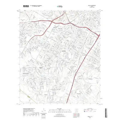
2019 Map of Oak Hill
USGS Topo · Published 2019About this map
Austin and its southern suburbs are shown here in 2019, revealing a dense network of residential developments and major transportation corridors. The map tracks the expansion of neighborhoods like Tanglewood Forest, Ford Oaks, and Shady Hollow into the Edwards Plateau foothills. To the south, the community of Manchaca and the village of San Leanna maintain distinct footprints amidst the suburban growth of Travis County.
Find a feature on this map
36 named features on this map. Tap any name to fly to it.
Don’t see what you’re looking for? This feature index may not catch every label — zoom into the map to look around manually.
Map Details
Editions of this 2019 Oak Hill Map
This is the sole edition of this map. No revisions or reprints were ever made.
Other maps of this area

1896 · Austin
USGS Topo · 1:125,000

1897 · Austin
USGS Topo · 1:125,000

1910 · Austin
USGS Topo · 1:125,000

1932 · Mt. Bonnell
USGS Topo · 1:62,500

1954 · Austin East
USGS Topo · 1:24,000

1954 · Austin West
USGS Topo · 1:24,000

1954 · Austin
USGS Topo · 1:250,000

1955 · Montopolis
USGS Topo · 1:24,000

1955 · Oak Hill
USGS Topo · 1:24,000

1955 · Montopolis
USGS Topo · 1:62,500