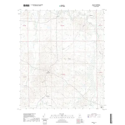
2018 Map of Oak Hill
USGS Topo · Published 2018About this map
Oak Hill serves as a central point of reference in this Wilcox County landscape, where the terrain is defined by a dense network of winding waterways including Pine Barren Creek and Prairie Cr. Small rural settlements and family-linked sites are dispersed across the area, including Caledonia and Allenton, providing specific points of interest for those tracking family history in central Alabama. The presence of the McConico Cem near McBrydes reflects the long-standing community foundations in this region. The map highlights the traditional road patterns that connect these townships, with routes like Honey Suckle Rd and Wagon Wheel Rd traversing the hills. To the southeast, the geography transitions toward the community of Pine Apple, situated near the headwaters of Little Turkey Cr.
Find a feature on this map
28 named features on this map. Tap any name to fly to it.
Don’t see what you’re looking for? This feature index may not catch every label — zoom into the map to look around manually.
Map Details
Editions of this 2018 Oak Hill Map
This is the sole edition of this map. No revisions or reprints were ever made.
Other maps of this area

1953 · Montgomery
USGS Topo · 1:250,000

1953 · Andalusia
USGS Topo · 1:250,000

1956 · Montgomery
USGS Topo · 1:250,000

1957 · Montgomery
USGS Topo · 1:250,000

1957 · Andalusia
USGS Topo · 1:250,000

1957 · Carlowville
USGS Topo · 1:62,500

1957 · Braggs
USGS Topo · 1:62,500
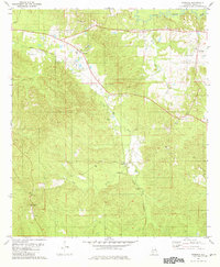
1981 · Rosebud
USGS Topo · 1:24,000
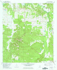
1981 · Oak Hill
USGS Topo · 1:24,000

1981 · Pine Apple North
USGS Topo · 1:24,000