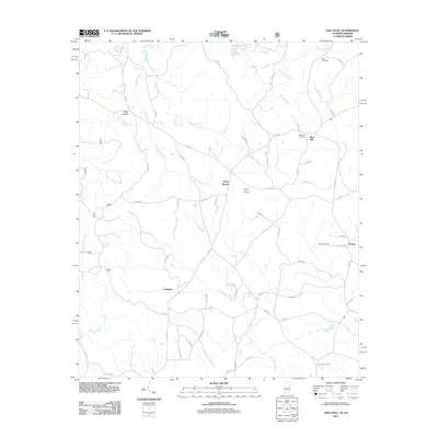
2011 Map of Oak Level
USGS Topo · Published 2011About this map
Oak Level and the surrounding rural landscape of Cleburne County are defined by a complex network of creeks and small crossroads communities. Several named burial grounds, including Roe Cemetery, Mars Hill Cemetery, Mount Perry Cemetery, and Bethel Cemetery, provide significant points of interest for genealogists tracing local families. The terrain is deeply carved by waterways such as Terrapin Creek, Mountain Creek, and Muscadine Creek, which shaped the settlement patterns of clusters like Piney Woods, Bethel, and Coldwater. In the northern reaches, Terrapin Creek Lake Number 22 stands as a notable water feature amidst the timber and farmland. The road system, dominated by county routes like Co RD-40 and Co RD-31, connects these isolated points of habitation, illustrating the persistent rural character of this Alabama-Georgia border region in the early twenty-first century.
Find a feature on this map
60 named features on this map. Tap any name to fly to it.
Don’t see what you’re looking for? This feature index may not catch every label — zoom into the map to look around manually.
Map Details
Editions of this 2011 Oak Level Map
This is the sole edition of this map. No revisions or reprints were ever made.
Other maps of this area

1889 · Tallapoosa
USGS Topo · 1:125,000

1892 · Tallapoosa
USGS Topo · 1:125,000

1897 · Tallapoosa
USGS Topo · 1:125,000

1900 · Anniston
USGS Topo · 1:125,000

1953 · Atlanta
USGS Topo · 1:250,000

1957 · Atlanta
USGS Topo · 1:250,000

1958 · Atlanta
USGS Topo · 1:250,000

1965 · Tallapoosa South
USGS Topo · 1:24,000

1966 · Tallapoosa North
USGS Topo · 1:24,000
1966 · Benedict
USGS Topo · 1:24,000