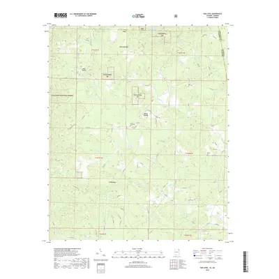
2018 Map of Oak Level
USGS Topo · Published 2018About this map
Edwardsville and Oak Level sit within a landscape defined by the drainage basins of the Talladega National Forest. This 2018 survey highlights a network of rural routes, such as Pilgrims Rest Rd and Co Rd 49, that connect small communities like Piney Woods and Coldwater across the Cleburne County terrain. The region is marked by its numerous family and community burial grounds, including Mars Hill Cem, Roe Cem, and Mount Perry Cem, which serve as vital markers for local genealogical research.
Find a feature on this map
72 named features on this map. Tap any name to fly to it.
Don’t see what you’re looking for? This feature index may not catch every label — zoom into the map to look around manually.
Map Details
Editions of this 2018 Oak Level Map
This is the sole edition of this map. No revisions or reprints were ever made.
Other maps of this area
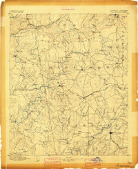
1889 · Tallapoosa
USGS Topo · 1:125,000
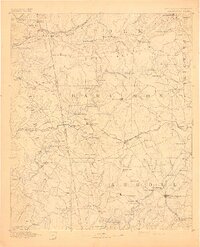
1892 · Tallapoosa
USGS Topo · 1:125,000
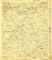
1897 · Tallapoosa
USGS Topo · 1:125,000
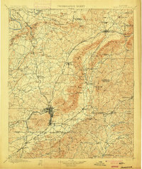
1900 · Anniston
USGS Topo · 1:125,000
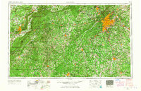
1953 · Atlanta
USGS Topo · 1:250,000
1957 · Atlanta
USGS Topo · 1:250,000
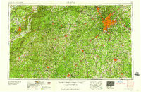
1958 · Atlanta
USGS Topo · 1:250,000
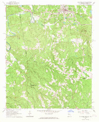
1965 · Tallapoosa South
USGS Topo · 1:24,000
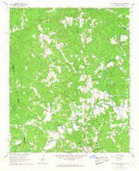
1966 · Tallapoosa North
USGS Topo · 1:24,000
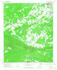
1966 · Benedict
USGS Topo · 1:24,000