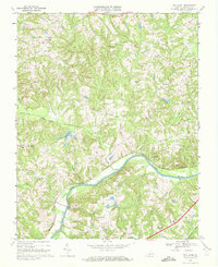
1968 Map of Oak Level
USGS Topo · Published 1972About this map
The Dan River creates a broad, winding valley through this part of Halifax County, serving as the topographical anchor for several small rural communities in the late 1960s. Following the river's course, the Southern railroad connects the riverside settlements of Paces and News Ferry. The landscape is characterized by its agricultural and residential patterns, with numerous country churches such as New Vernon Ch, Wesley Chapel, and Mt Pleasant Ch acting as community centers. Small creeks like Birch Creek, Toby Creek, and Chalmers Creek drain into the main river valley, creating a network of ridges where homes and farms are situated. Farther south, Turbeville and Danripple stand as significant crossroads, while the presence of a Gaging Sta and Radio Tower point to the technical infrastructure of the era.
Find a feature on this map
25 named features on this map. Tap any name to fly to it.
Don’t see what you’re looking for? This feature index may not catch every label — zoom into the map to look around manually.
Map Details
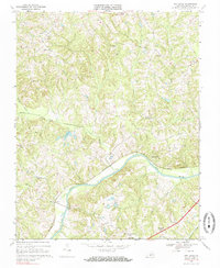
Editions of this 1968 Oak Level Map
2 editions found
Other maps of this area

1952 · Milton
USGS Topo · 1:62,500

1953 · South Boston
USGS Topo · 1:62,500

1953 · Greensboro
USGS Topo · 1:250,000

1954 · Greensboro
USGS Topo · 1:250,000

1954 · Halifax
USGS Topo · 1:62,500

1954 · Riceville
USGS Topo · 1:62,500

1956 · Milton
USGS Topo · 1:62,500

1957 · South Boston
USGS Topo · 1:62,500

1962 · Greensboro
USGS Topo · 1:250,000

1966 · Greensboro
USGS Topo · 1:250,000