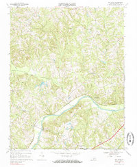
1968 Map of Oak Level
USGS Topo · Published 1985About this map
Oak Level and the surrounding tobacco country of Halifax County are defined by the winding course of the Dan River and the Southern railway line that tracks its northern bank. This landscape reflects a late 1960s rural economy where small crossroad communities and country parishes serve as the primary social hubs. Settlements like News Ferry, Elmo, and Paces are positioned along the rail and river corridor, while the upland areas are dotted with landmark churches such as New Vernon Ch, Wesley Chapel, and Union Grove Ch. The complex drainage system of Birch Creek, Miry Creek, and Chalmers Creek feeds into the main river channel, shaping the agricultural layout of the region. The map provides a clear view of the transportation network before major modern highway expansions, showing the distribution of family-named landmarks and local cemeteries that are vital for genealogical research in this part of Virginia.
Find a feature on this map
29 named features on this map. Tap any name to fly to it.
Don’t see what you’re looking for? This feature index may not catch every label — zoom into the map to look around manually.
Map Details
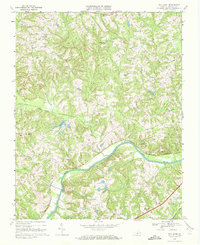
Editions of this 1968 Oak Level Map
2 editions found
Other maps of this area

1952 · Milton
USGS Topo · 1:62,500

1953 · South Boston
USGS Topo · 1:62,500

1953 · Greensboro
USGS Topo · 1:250,000

1954 · Greensboro
USGS Topo · 1:250,000

1954 · Halifax
USGS Topo · 1:62,500

1954 · Riceville
USGS Topo · 1:62,500

1956 · Milton
USGS Topo · 1:62,500

1957 · South Boston
USGS Topo · 1:62,500

1962 · Greensboro
USGS Topo · 1:250,000

1966 · Greensboro
USGS Topo · 1:250,000