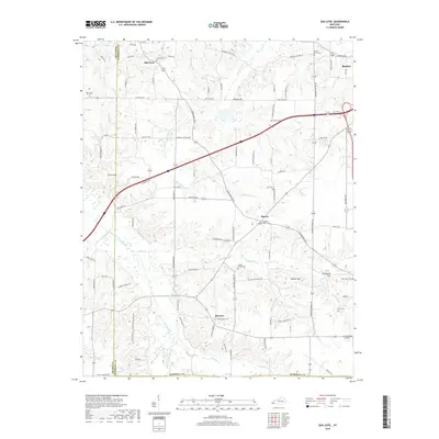
2019 Map of Oak Level
USGS Topo · Published 2019About this map
The West Fork Clarks River meanders through this portion of Marshall County, defining a landscape of low-lying creek bottoms and prominent rises like Potato Hill and Waller Hill. The small settlements of Oak Level, Harvey, and Brewers are connected by a network of rural roads that often follow the natural drainage of the land. For the genealogist or local historian, this map is particularly dense with family and community landmarks, including the Pleasant Grove-Cem, Soldier Creek Cem, and Gibson Cem. The presence of the J & C Antique Airfield in the southeast corner near New Zion Cem provides a distinct modern contrast to the historic cemeteries and named springs like Stillhouse Spring and Hale Spring that once served these agrarian communities. The terrain is further etched by numerous named branches, such as Woodall Br and Hominy Br, which feed into the larger river system.
Find a feature on this map
113 named features on this map. Tap any name to fly to it.
Don’t see what you’re looking for? This feature index may not catch every label — zoom into the map to look around manually.
Map Details
Editions of this 2019 Oak Level Map
This is the sole edition of this map. No revisions or reprints were ever made.
Other maps of this area
1936 · Farmington
USGS Topo · 1:24,000
1936 · Oak Level
USGS Topo · 1:24,000
1936 · Elva
USGS Topo · 1:24,000
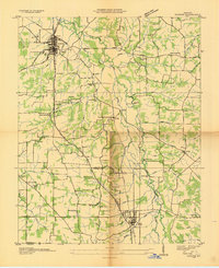
1936 · Hardin
USGS Topo · 1:24,000
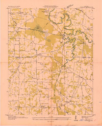
1936 · Symsonia
USGS Topo · 1:24,000
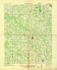
1936 · Benton
USGS Topo · 1:48,000
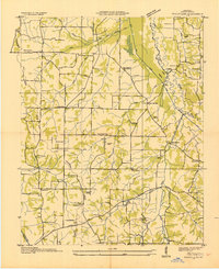
1936 · Westplains
USGS Topo · 1:24,000
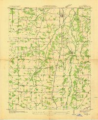
1936 · Dexter
USGS Topo · 1:24,000
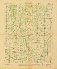
1936 · Kirksey
USGS Topo · 1:24,000
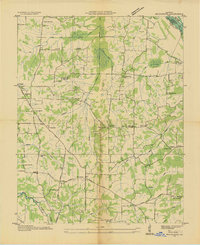
1936 · Briensburg
USGS Topo · 1:24,000