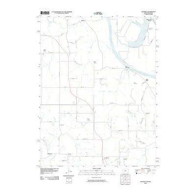
2009 Map of Oak Mills
USGS Topo · Published 2009About this map
The Missouri River defines the eastern edge of this landscape, carving a wide path through the borderlands of Kansas and Missouri. Along its banks, the small settlements of Port Williams and Oak Mills reflect the river-oriented commerce of the region, while further inland, the terrain is dotted with agricultural communities and family heritage sites. Genealogists will find a high concentration of burial grounds including Round Prairie Cemetery, Mount Gillian Cemetery, and Oak Hill Cemetery, which serve as quiet markers of the generations that settled these bluffs and plains.
Find a feature on this map
59 named features on this map. Tap any name to fly to it.
Don’t see what you’re looking for? This feature index may not catch every label — zoom into the map to look around manually.
Map Details
Editions of this 2009 Oak Mills Map
This is the sole edition of this map. No revisions or reprints were ever made.
Other maps of this area

1885 · Atchison
USGS Topo · 1:125,000

1886 · Oskaloosa
USGS Topo · 1:125,000

1888 · Oskaloosa
USGS Topo · 1:125,000

1888 · Atchison
USGS Topo · 1:125,000

1890 · Kansas City
USGS Topo · 1:125,000

1893 · Atchison
USGS Topo · 1:125,000

1894 · Kansas City
USGS Topo · 1:125,000

1894 · Oskaloosa
USGS Topo · 1:125,000

1910 · Leavenworth
USGS Topo · 1:62,500

1926 · Atchison
USGS Topo · 1:62,500