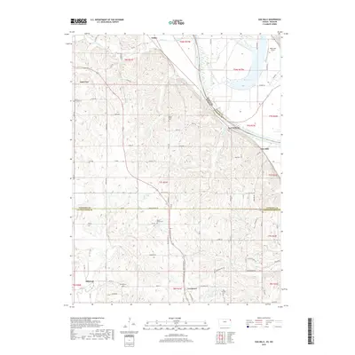
2018 Map of Oak Mills
USGS Topo · Published 2018About this map
The Missouri River forms the central boundary of this landscape, separating the bottomlands of Missouri from the dissected bluffs of Kansas. On the western bank, small rural communities like Saint Pats, Millwood, and Lowemont are linked by a network of local roads such as the Santa Fe Trl and Amelia Earhart Rd. The terrain is marked by numerous family and community landmarks, including Saint Patrick Cem and Mount Gillian Cem, which reflect the area's deep-rooted settlement history.
Find a feature on this map
80 named features on this map. Tap any name to fly to it.
Don’t see what you’re looking for? This feature index may not catch every label — zoom into the map to look around manually.
Map Details
Editions of this 2018 Oak Mills Map
This is the sole edition of this map. No revisions or reprints were ever made.
Other maps of this area
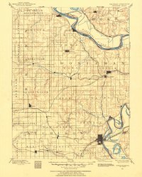
1885 · Atchison
USGS Topo · 1:125,000
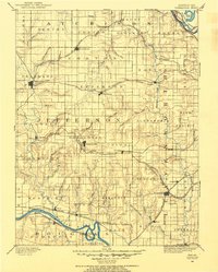
1886 · Oskaloosa
USGS Topo · 1:125,000
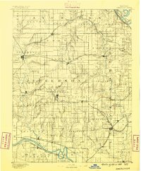
1888 · Oskaloosa
USGS Topo · 1:125,000
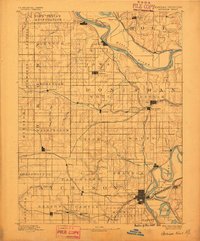
1888 · Atchison
USGS Topo · 1:125,000
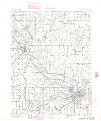
1890 · Kansas City
USGS Topo · 1:125,000
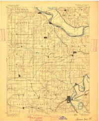
1893 · Atchison
USGS Topo · 1:125,000
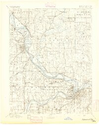
1894 · Kansas City
USGS Topo · 1:125,000
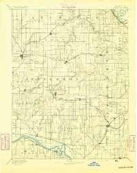
1894 · Oskaloosa
USGS Topo · 1:125,000
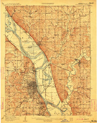
1910 · Leavenworth
USGS Topo · 1:62,500
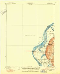
1926 · Atchison
USGS Topo · 1:62,500