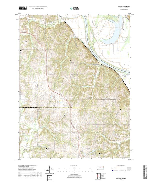
2022 Map of Oak Mills
USGS Topo · Published 2022About this map
The Missouri River carves a significant boundary through this landscape, separating Atchison Co in Kansas from Platte Co in Missouri. Settlement patterns follow the high ground and creek valleys, notably around the small communities of Lowemont, Oak Mills, and Millwood. The abundance of family and community burial sites, including Saint Patrick Cem, Round Prairie Cem, and Mount Gillian Cem, provides a clear view of the area's ancestral footprint.
Find a feature on this map
80 named features on this map. Tap any name to fly to it.
Don’t see what you’re looking for? This feature index may not catch every label — zoom into the map to look around manually.
Map Details
Editions of this 2022 Oak Mills Map
This is the sole edition of this map. No revisions or reprints were ever made.
Other maps of this area

1885 · Atchison
USGS Topo · 1:125,000

1886 · Oskaloosa
USGS Topo · 1:125,000

1888 · Oskaloosa
USGS Topo · 1:125,000

1888 · Atchison
USGS Topo · 1:125,000

1890 · Kansas City
USGS Topo · 1:125,000

1893 · Atchison
USGS Topo · 1:125,000

1894 · Kansas City
USGS Topo · 1:125,000

1894 · Oskaloosa
USGS Topo · 1:125,000

1910 · Leavenworth
USGS Topo · 1:62,500

1926 · Atchison
USGS Topo · 1:62,500