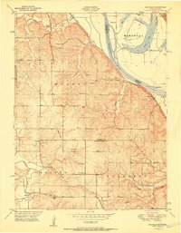
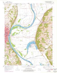
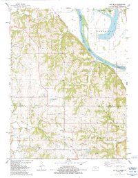
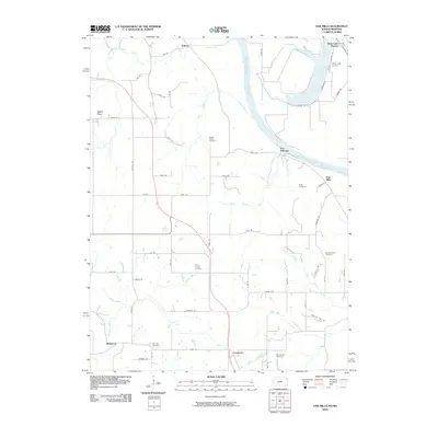
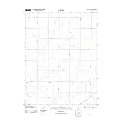
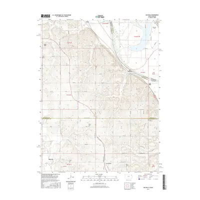
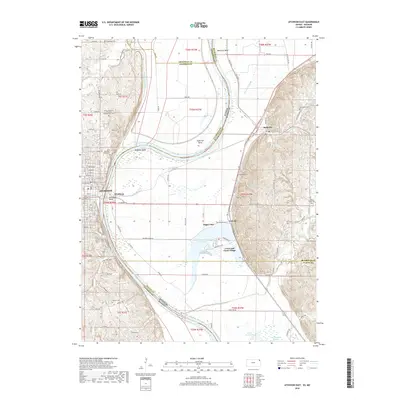
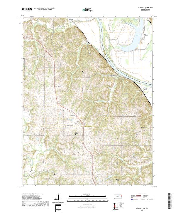
1951 Map of Oak Mills
USGS Topo · Published 1951About this map
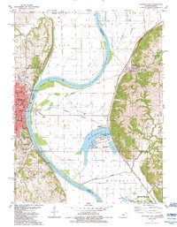
The Missouri River forms the eastern edge of this landscape, separating the bottomlands of Marshall from the rugged bluffs of Walnut and Kickapoo. In the early 1950s, this region was a network of small agricultural settlements and rural social centers. The settlement of Oak Mills sits along the riverbank, served by the Missouri Pacific railroad, while further inland, the landscape is dotted with essential community landmarks like the Round Prairie Church and St Patricks School.
Find a feature on this map
42 named features on this map. Tap any name to fly to it.
Don’t see what you’re looking for? This feature index may not catch every label — zoom into the map to look around manually.
Map Details
Editions of this 1951 Oak Mills Map
2 editions found

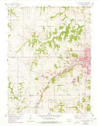
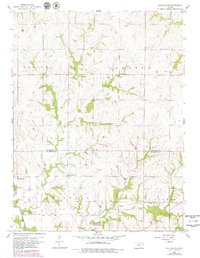
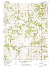
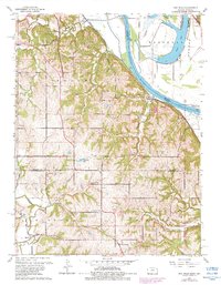
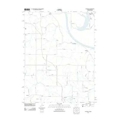
Historical Maps of Bean Lake Station Through Time
34 maps found
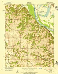
1948 Oak Mills
Atchison County, KS
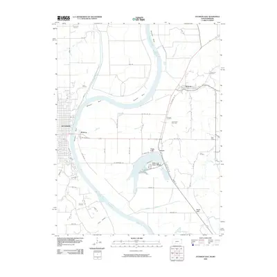
1951 Oak Mills
Atchison County, KS
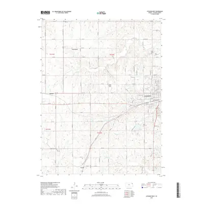
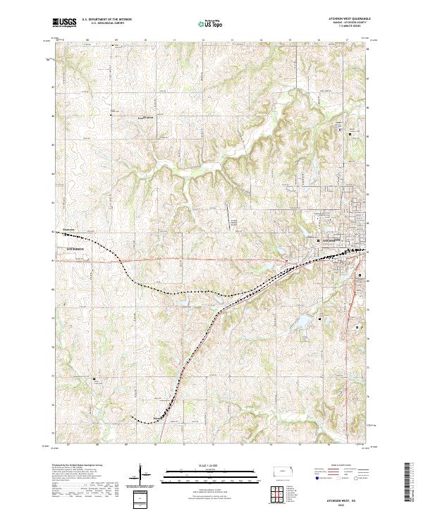
1959 Atchison West
Atchison County, KS
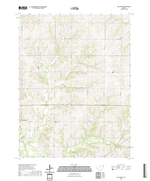
1959 Half Mound
Atchison County, KS
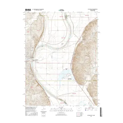
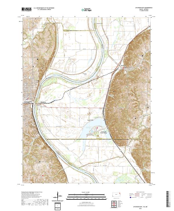
1960 Atchison East
Atchison County, KS
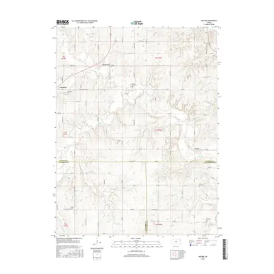
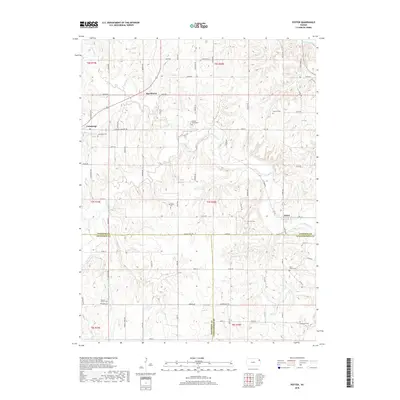
1960 Potter
Atchison County, KS
1961 Oak Mills
Atchison County, KS
1984 Atchison East
Atchison County, KS
1984 Oak Mills
Atchison County, KS
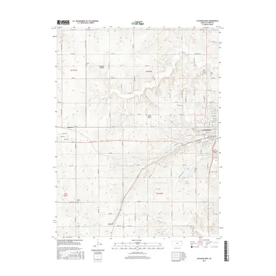
2009 Atchison East
Atchison County, KS
2009 Atchison West
Atchison County, KS
2009 Half Mound
Atchison County, KS
2009 Oak Mills
Atchison County, KS
2009 Potter
Atchison County, KS
2012 Atchison East
Atchison County, KS
2012 Atchison West
Atchison County, KS
2012 Half Mound
Atchison County, KS
2012 Oak Mills
Atchison County, KS
2012 Potter
Atchison County, KS
2015 Half Mound
Atchison County, KS
2015 Oak Mills
Atchison County, KS
2015 Potter
Atchison County, KS
2016 Atchison East
Atchison County, KS
2016 Atchison West
Atchison County, KS
2018 Atchison East
Atchison County, KS
2018 Atchison West
Atchison County, KS
2018 Half Mound
Atchison County, KS
2018 Oak Mills
Atchison County, KS
2018 Potter
Atchison County, KS
2022 Atchison East
Atchison County, KS
2022 Atchison West
Atchison County, KS
2022 Half Mound
Atchison County, KS
2022 Oak Mills
Atchison County, KS
2022 Potter
Atchison County, KS