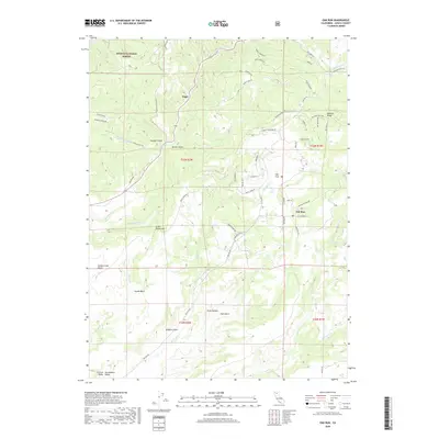
2018 Map of Oak Run
USGS Topo · Published 2018About this map
Oak Run serves as a central point of settlement in this part of Shasta County, situated near the headwaters of Oak Run Cr and Tracy Cr. The landscape is defined by a series of significant ridges and basins, including Bullskin Ridge and Swede Basin, which dictate the winding paths of rural connectors like Old Stage Rd and Donkey Mine Rd. To the northwest, the settlement of Ingot lies along the edge of the Shasta National Forest, marking an area historically tied to the region's mining and timber interests.
Find a feature on this map
65 named features on this map. Tap any name to fly to it.
Don’t see what you’re looking for? This feature index may not catch every label — zoom into the map to look around manually.
Map Details
Editions of this 2018 Oak Run Map
This is the sole edition of this map. No revisions or reprints were ever made.
Other maps of this area
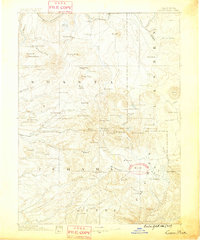
1886 · Lassen Peak
USGS Topo · 1:250,000
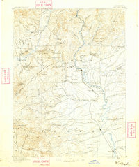
1890 · Red Bluff
USGS Topo · 1:250,000
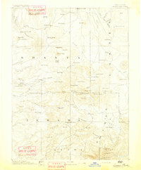
1892 · Lassen Peak
USGS Topo · 1:250,000
1894 · Lassen Peak
USGS Topo · 1:250,000
1894 · Red Bluff
USGS Topo · 1:250,000
1901 · Redding
USGS Topo · 1:125,000
1935 · Burney
USGS Topo · 1:96,000
1939 · Burney
USGS Topo · 1:125,000
1949 · Bollibokka Mtn
USGS Topo · 1:62,500
1953 · Millville
USGS Topo · 1:62,500