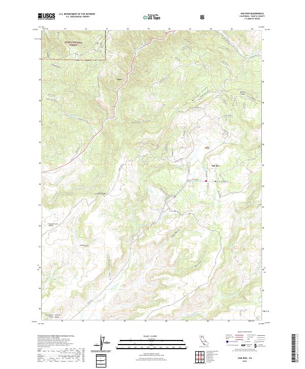
2021 Map of Oak Run
USGS Topo · Published 2021About this map
Shasta National Forest dominates the northern landscape of this Shasta County region, where the rugged foothills of the Sacramento Valley meet the southern Cascades. The settlement of Oak Run serves as a central hub for the network of mountain roads and drainage systems, including Oak Run Cr and Tracy Cr. To the northwest, the small community of Ingot sits near Seaman Gulch, reflecting the area's history of mineral exploration and ranching. The terrain is defined by dramatic elevation changes, from the level Swede Creek Plains and Oak Flat to the prominent rise of Little Round Mtn. Local landmarks like Clover Creek Falls and the winding Bullskin Ridge illustrate the complex hydrography and topography that have shaped local travel, from Old Stage Rd to modern routes like Oak Run Rd.
Find a feature on this map
64 named features on this map. Tap any name to fly to it.
Don’t see what you’re looking for? This feature index may not catch every label — zoom into the map to look around manually.
Map Details
Editions of this 2021 Oak Run Map
This is the sole edition of this map. No revisions or reprints were ever made.
Other maps of this area

1886 · Lassen Peak
USGS Topo · 1:250,000

1890 · Red Bluff
USGS Topo · 1:250,000

1892 · Lassen Peak
USGS Topo · 1:250,000

1894 · Lassen Peak
USGS Topo · 1:250,000

1894 · Red Bluff
USGS Topo · 1:250,000

1901 · Redding
USGS Topo · 1:125,000

1935 · Burney
USGS Topo · 1:96,000

1939 · Burney
USGS Topo · 1:125,000

1949 · Bollibokka Mtn
USGS Topo · 1:62,500

1953 · Millville
USGS Topo · 1:62,500