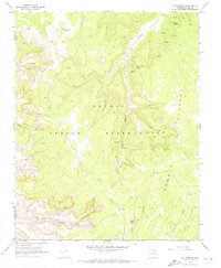
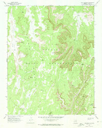
1970 Map of Oak Springs
USGS Topo · Published 1973About this map
The high desert terrain of the Navajo Indian Reservation defines this landscape, where deep incisions like Piute Canyon and Far End Canyon cut through the arid heights of the Shonto Plateau. A vital network of water sources, including Oak Springs, Tse Ya Toe Spring, and Cliff Spring, dictates the human presence in this region. Evidence of ancient and modern habitation exists side-by-side, from a remote Cliff Dwelling tucked into the canyon walls to the mid-century infrastructure of a Radio Tower and Hilltop Well.
Find a feature on this map
19 named features on this map. Tap any name to fly to it.
Don’t see what you’re looking for? This feature index may not catch every label — zoom into the map to look around manually.
Map Details
Editions of this 1970 Oak Springs Map
This is the sole edition of this map. No revisions or reprints were ever made.
Other maps of this area

1883 · Marsh Pass
USGS Topo · 1:250,000

1892 · Marsh Pass
USGS Topo · 1:250,000

1952 · Shato Spring 1 NE
USGS Topo · 1:24,000

1956 · Marble Canyon
USGS Topo · 1:250,000

1959 · Marble Canyon
USGS Topo · 1:250,000

1961 · Marble Canyon
USGS Topo · 1:250,000
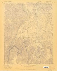
1970 · Cattle Canyon
USGS Topo · 1:24,000
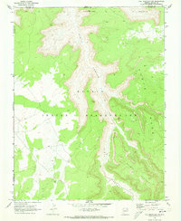
1970 · Tall Mountain NW
USGS Topo · 1:24,000
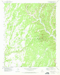
1970 · Betatakin Ruin
USGS Topo · 1:24,000
1970 · Tall Mountain
USGS Topo · 1:24,000