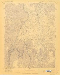
1970 Map of Cattle Canyon
USGS Topo · Published 1972About this map
Navajo Indian Reservation lands dominate this 1970 topographical study, where the high-altitude terrain of the Shonto Plateau meets a complex network of deep drainage systems. The landscape is defined by the massive tabular forms of Nakai Mesa and Piute Mesa, which rise sharply above the surrounding canyons. This area, located along the border of San Juan and Navajo Counties, serves as a stark record of the geological forces shaping the Four Corners region.
Find a feature on this map
11 named features on this map. Tap any name to fly to it.
Don’t see what you’re looking for? This feature index may not catch every label — zoom into the map to look around manually.
Map Details
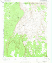
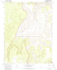
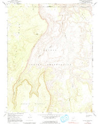
Editions of this 1970 Cattle Canyon Map
4 editions found
Other maps of this area

1883 · Marsh Pass
USGS Topo · 1:250,000

1886 · Henry Mountains
USGS Topo · 1:250,000

1892 · Marsh Pass
USGS Topo · 1:250,000

1892 · Henry Mountains
USGS Topo · 1:250,000

1952 · Shato Spring 1 NE
USGS Topo · 1:24,000

1952 · Agathla Peak 2 SW
USGS Topo · 1:24,000

1952 · Agathla Peak 2 NW
USGS Topo · 1:24,000

1952 · Boot Mesa
USGS Topo · 1:62,500

1952 · Clay Hills 3 SW
USGS Topo · 1:24,000

1952 · Navajo Mtn. 4 SE
USGS Topo · 1:24,000