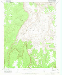
1970 Map of Cattle Canyon
USGS Topo · Published 1973About this map
Navajo Indian Reservation lands dominate this 1970 survey, capturing a high desert landscape defined by deep drainages and elevated plateaus along the Arizona and Utah border. The topography is shaped by the massive Piute Mesa to the west and Noka Mesa to the northeast, with the high ground of the Shonto Plateau rising in the south. Between these heights, Cattle Canyon and Nokai Canyon carve significant paths through the terrain. The presence of Fullers Spring and the drainage of Neskahi Wash indicate the critical water sources in this arid region. The boundary line between San Juan and Navajo counties is clearly marked as it meets the state line, providing a precise record of these political borders within the reservation.
Find a feature on this map
11 named features on this map. Tap any name to fly to it.
Don’t see what you’re looking for? This feature index may not catch every label — zoom into the map to look around manually.
Map Details
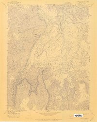
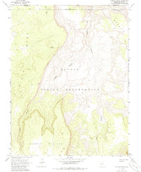
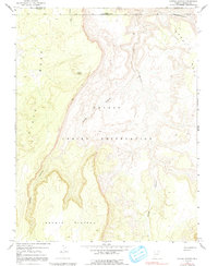
Editions of this 1970 Cattle Canyon Map
4 editions found
Other maps of this area

1883 · Marsh Pass
USGS Topo · 1:250,000

1886 · Henry Mountains
USGS Topo · 1:250,000

1892 · Marsh Pass
USGS Topo · 1:250,000

1892 · Henry Mountains
USGS Topo · 1:250,000

1952 · Shato Spring 1 NE
USGS Topo · 1:24,000

1952 · Agathla Peak 2 SW
USGS Topo · 1:24,000

1952 · Agathla Peak 2 NW
USGS Topo · 1:24,000

1952 · Boot Mesa
USGS Topo · 1:62,500

1952 · Clay Hills 3 SW
USGS Topo · 1:24,000

1952 · Navajo Mtn. 4 SE
USGS Topo · 1:24,000