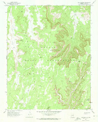
1970 Map of Tall Mountain
USGS Topo · Published 1973About this map
Navajo National Monument (Keet Seel Ruin) anchors the southeastern corner of this map, highlighting the preservation of ancestral sites within the Navajo Indian Reservation. The landscape is defined by the high, flat expanses of the Shonto Plateau and Skeleton Mesa, which are deeply incised by complex drainage systems like Nokai Canyon and Long Canyon. These canyons provided sheltered locations for ancient habitations, evidenced by labels for the Calamity Cave Cliff Dwelling and several other unnamed Cliff Dwelling sites tucked into the sandstone walls.
Find a feature on this map
19 named features on this map. Tap any name to fly to it.
Don’t see what you’re looking for? This feature index may not catch every label — zoom into the map to look around manually.
Map Details
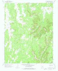
Editions of this 1970 Tall Mountain Map
2 editions found
Other maps of this area

1883 · Marsh Pass
USGS Topo · 1:250,000

1892 · Marsh Pass
USGS Topo · 1:250,000

1952 · Shato Spring 1 NE
USGS Topo · 1:24,000

1952 · Agathla Peak 2 SW
USGS Topo · 1:24,000

1952 · Agathla Peak 2 NW
USGS Topo · 1:24,000

1952 · Boot Mesa
USGS Topo · 1:62,500

1956 · Marble Canyon
USGS Topo · 1:250,000

1959 · Marble Canyon
USGS Topo · 1:250,000

1961 · Marble Canyon
USGS Topo · 1:250,000

1968 · Marsh Pass
USGS Topo · 1:24,000