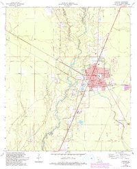
1968 Map of Oakdale
USGS Topo · Published 1993About this map
The Calcasieu River winds through this Central Louisiana landscape, anchoring the development of Oakdale and its surrounding rural timber and agricultural lands. This 1968 survey, later updated in the early 1990s, reveals a community built on transportation and industry, evidenced by the presence of a Refinery and the Oakdale Municipal Airport. The town center is densely packed with local landmarks including the High Sch and several cemeteries like Sacred Heart Cem and Oakdale Cem.
Find a feature on this map
37 named features on this map. Tap any name to fly to it.
Don’t see what you’re looking for? This feature index may not catch every label — zoom into the map to look around manually.
Map Details
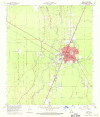
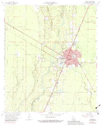
Editions of this 1968 Oakdale Map
3 editions found
Other maps of this area

1935 · Beaver
USGS Topo · 1:31,680

1935 · Pawnee
USGS Topo · 1:31,680

1935 · Oakdale
USGS Topo · 1:31,680

1942 · Oakdale
USGS Topo · 1:62,500

1947 · Foley
USGS Topo · 1:31,680

1947 · Steep Gully
USGS Topo · 1:31,680

1947 · Pine Chapel
USGS Topo · 1:31,680

1947 · Bond
USGS Topo · 1:31,680

1947 · Elizabeth
USGS Topo · 1:31,680

1948 · Elizabeth
USGS Topo · 1:24,000