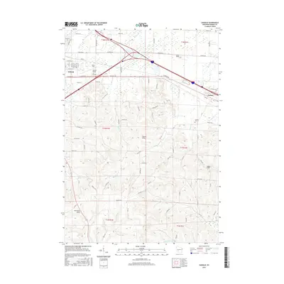
2016 Map of Oakdale
USGS Topo · Published 2016About this map
Tomah and Oakdale serve as the primary anchors for this 2016 survey of Monroe County. The landscape transitions from the developed eastern edge of the city into the steep, characteristic bluffs of the Driftless Area, marked by prominent elevations such as Camels Hump and Stone Bluff. The drainage patterns are well-defined by the Kickapoo River and Little Lemonweir River, which carve through the underlying topography to form Finucan Valley and Cold Spring Valley.
Find a feature on this map
54 named features on this map. Tap any name to fly to it.
Don’t see what you’re looking for? This feature index may not catch every label — zoom into the map to look around manually.
Map Details
Editions of this 2016 Oakdale Map
This is the sole edition of this map. No revisions or reprints were ever made.
Other maps of this area

1916 · Tomah
USGS Topo · 1:62,500

1919 · Kendall
USGS Topo · 1:62,500

1921 · Kendall
USGS Topo · 1:62,500

1947 · Millston
USGS Topo · 1:62,500

1949 · Millston
USGS Topo · 1:62,500

1949 · Tomah
USGS Topo · 1:62,500

1953 · Eau Claire
USGS Topo · 1:250,000

1958 · Eau Claire
USGS Topo · 1:250,000

1958 · Wyeville
USGS Topo · 1:48,000

1958 · La Crosse
USGS Topo · 1:250,000