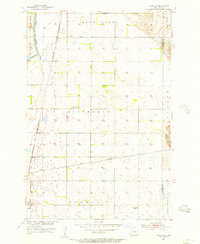
1955 Map of Oakes SE
USGS Topo · Published 1956About this map
Ludden sits at a rail crossroads in the southwest corner of this mid-century survey, marking a vital point of transit where the Chicago and North Western and Great Northern rail lines intersect. The landscape is defined by the meandering path of the James River through the Clement and Hudson townships, while Bear Creek cuts across the northern reaches.
Find a feature on this map
15 named features on this map. Tap any name to fly to it.
Don’t see what you’re looking for? This feature index may not catch every label — zoom into the map to look around manually.
Map Details
Editions of this 1955 Oakes SE Map
This is the sole edition of this map. No revisions or reprints were ever made.
Other maps of this area

1894 · Hecla
USGS Topo · 1:62,500

1894 · Oakes
USGS Topo · 1:62,500

1895 · Lamoure
USGS Topo · 1:125,000

1896 · Columbia
USGS Topo · 1:125,000

1918 · La Moure
USGS Topo · 1:125,000

1952 · Glover
USGS Topo · 1:24,000

1952 · Oakes
USGS Topo · 1:24,000

1952 · Crete
USGS Topo · 1:24,000

1953 · Jamestown
USGS Topo · 1:250,000

1953 · Milbank
USGS Topo · 1:250,000