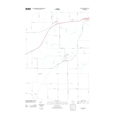
2013 Map of Oakfield
USGS Topo · Published 2013About this map
The E Br Fond Du Lac River winds through this section of Fond du Lac County, defining a landscape shaped by agricultural drainage and small-town settlement. The village of Oakfield serves as the primary hub, where the local street grid including N Main St and W Waupun St meets the rural corridor of County Hwy-Y. To the north, the hamlet of Lamartine sits near the headwaters of Sevenmile Cr, while the smaller community of Oak Center anchors the southwest. The presence of numerous named creeks like Campground Cr and Kummel Cr indicates a well-watered prairie environment, largely converted to farmland. This contemporary 2013 survey provides a clear view of the modern road network, from the high-speed Us-151 bypass to long-established local thoroughfares like High Bridge Rd and Schoepke Rd, showing the persistence of these early Wisconsin settlements.
Find a feature on this map
54 named features on this map. Tap any name to fly to it.
Don’t see what you’re looking for? This feature index may not catch every label — zoom into the map to look around manually.
Map Details
Editions of this 2013 Oakfield Map
This is the sole edition of this map. No revisions or reprints were ever made.
Other maps of this area

1910 · Fond du Lac
USGS Topo · 1:62,500

1955 · Waupun
USGS Topo · 1:62,500

1955 · Campbellsport
USGS Topo · 1:62,500

1955 · Fond Du Lac
USGS Topo · 1:62,500

1955 · Fond Du Lac
USGS Topo · 1:24,000

1956 · Rosendale
USGS Topo · 1:62,500

1957 · Madison
USGS Topo · 1:250,000

1960 · Madison
USGS Topo · 1:250,000
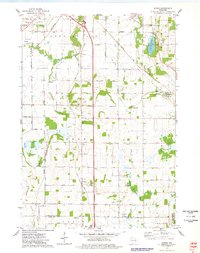
1974 · Byron
USGS Topo · 1:24,000
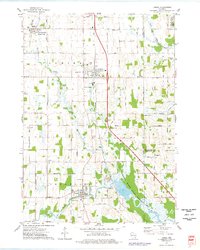
1974 · Lomira
USGS Topo · 1:24,000