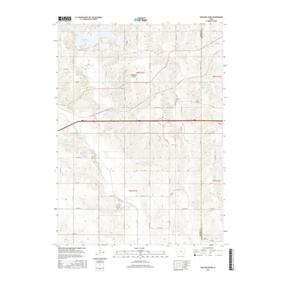
2015 Map of Oakland Acres
USGS Topo · Published 2015About this map
Oakland Acres and the surrounding farmland of Jasper and Poweshiek counties are centered in this detailed study of the Iowa landscape. The map highlights the significant water resources of the region, anchored by the sprawling Rock Creek Lake in the northwest and the winding course of the North Skunk River to the south. Smaller water bodies like Lake Pla-Mor and tributaries such as Sugar Cr and Turner Cr further define the drainage patterns of these agricultural townships.
Find a feature on this map
68 named features on this map. Tap any name to fly to it.
Don’t see what you’re looking for? This feature index may not catch every label — zoom into the map to look around manually.
Map Details
Editions of this 2015 Oakland Acres Map
This is the sole edition of this map. No revisions or reprints were ever made.
Other maps of this area

1954 · Des Moines
USGS Topo · 1:250,000

1956 · Des Moines
USGS Topo · 1:250,000

1957 · Des Moines
USGS Topo · 1:250,000

1969 · Des Moines
USGS Topo · 1:250,000

1979 · Searsboro
USGS Topo · 1:24,000

1979 · Grinnell South
USGS Topo · 1:24,000

1980 · Newburg
USGS Topo · 1:24,000

1980 · Sully
USGS Topo · 1:24,000
1980 · Grinnell North
USGS Topo · 1:24,000
1980 · Alloway Creek
USGS Topo · 1:24,000