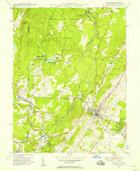
1948 Map of Oakland
USGS Topo · Published 1958About this map
The Youghiogheny River carves a deep path through the Garrett County highlands in this mid-century survey, anchoring a landscape where timber and transit intersect. The Baltimore and Ohio R R serves as the industrial spine for the region, connecting the county seat at Oakland with neighboring Mountain Lake Park and Loch Lynn Heights. To the west, the state line with West Virginia is marked by the sister settlements of Hutton and Corinth, while the lumber and mining town of Crellin sits at the confluence of the river and Snowy Creek. Conservation and recreation are well established by this era, shown through the boundaries of Swallow Falls State Forest and the Mt Nebo State Game Preserve. Local life is further documented by rural landmarks like the Sines Cem, Swallow Falls Sch, and the organized youth camps at Camp Minnetoska Koshare and Camp Whitethorn near Herrington Lake.
Find a feature on this map
53 named features on this map. Tap any name to fly to it.
Don’t see what you’re looking for? This feature index may not catch every label — zoom into the map to look around manually.
Map Details
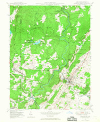
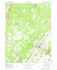
Editions of this 1948 Oakland Map
3 editions found
Other maps of this area

1886 · St. George
USGS Topo · 1:125,000

1891 · St. George
USGS Topo · 1:125,000

1895 · Piedmont
USGS Topo · 1:125,000

1899 · Oakland
USGS Topo · 1:62,500

1900 · Accident
USGS Topo · 1:62,500

1900 · Oakland
USGS Topo · 1:62,500

1904 · Bruceton
USGS Topo · 1:62,500

1907 · Kingwood
USGS Topo · 1:62,500

1925 · Kingwood
USGS Topo · 1:62,500

1926 · Bruceton
USGS Topo · 1:62,500