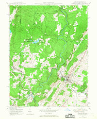
1948 Map of Oakland
USGS Topo · Published 1967About this map
The Youghiogheny River winds through this western Maryland landscape, serving as a central artery for the clustered communities of Oakland, Mountain Lake Park, and Loch Lynn Heights. During the late 1940s, the region's economy and social structure were anchored by the Baltimore and Ohio RR and local industry, evidenced by a strip mine near Round Glade Run. Educational and community life is marked by rural institutions like Swallow Falls Sch, New Herrington Sch, and Bray Sch. The map reveals a transition from these organized settlements into the preserved wilderness of Swallow Falls State Forest and the Mt Nebo State Forest and Game Preserve. Smaller hamlets like Crellin and Hutton sit near the West Virginia border, while the presence of Sines Cem and family-named landmarks like Bray Hill offer specific points of interest for genealogical research.
Find a feature on this map
49 named features on this map. Tap any name to fly to it.
Don’t see what you’re looking for? This feature index may not catch every label — zoom into the map to look around manually.
Map Details
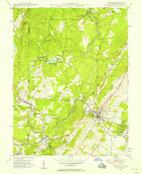
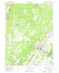
Editions of this 1948 Oakland Map
3 editions found
Other maps of this area

1886 · St. George
USGS Topo · 1:125,000

1891 · St. George
USGS Topo · 1:125,000

1895 · Piedmont
USGS Topo · 1:125,000

1899 · Oakland
USGS Topo · 1:62,500

1900 · Accident
USGS Topo · 1:62,500

1900 · Oakland
USGS Topo · 1:62,500

1904 · Bruceton
USGS Topo · 1:62,500

1907 · Kingwood
USGS Topo · 1:62,500

1925 · Kingwood
USGS Topo · 1:62,500

1926 · Bruceton
USGS Topo · 1:62,500