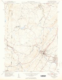
1950 Map of Oakland
USGS Topo · Published 1950About this map
The Youghiogheny River carves a central path through this section of Garrett County, anchoring a landscape where mountain ridges meet established rail towns. The Baltimore and Ohio RR dictates the local geography, connecting the commercial center at Oakland to neighboring communities like Mountain Lake Park and Loch Lynn Heights. These settlements reflect the post-war era's intersection of industry and recreation, with the Oakland Golf Course positioned near the riverbanks while a Strip Mine operates further north along Roman Nose Mtn.
Find a feature on this map
55 named features on this map. Tap any name to fly to it.
Don’t see what you’re looking for? This feature index may not catch every label — zoom into the map to look around manually.
Map Details
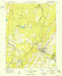
Editions of this 1950 Oakland Map
2 editions found
Other maps of this area

1886 · St. George
USGS Topo · 1:125,000

1891 · St. George
USGS Topo · 1:125,000

1895 · Piedmont
USGS Topo · 1:125,000

1899 · Oakland
USGS Topo · 1:62,500

1900 · Accident
USGS Topo · 1:62,500

1900 · Oakland
USGS Topo · 1:62,500

1904 · Bruceton
USGS Topo · 1:62,500

1907 · Kingwood
USGS Topo · 1:62,500

1925 · Kingwood
USGS Topo · 1:62,500

1926 · Bruceton
USGS Topo · 1:62,500