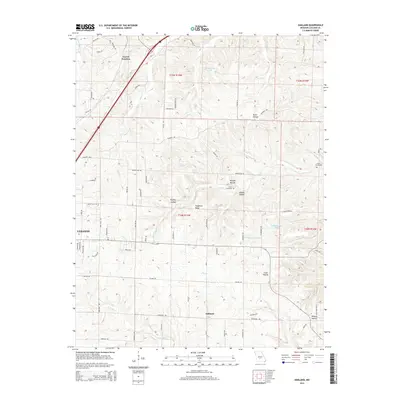
2015 Map of Oakland
USGS Topo · Published 2015About this map
The community of Oakland sits south of the various forks and branches that define this section of Laclede County. This 2015 U.S. Geological Survey representation reveals a landscape marked by deeply incised drainages such as Pig Pen Hollow and Morgan Hollow, which lead toward Rock Spring and the surrounding valley floors. The northeastern edge of Lebanon enters the frame from the west, showing the expansion of the city's road network through the transition from residential streets to the rural routes that crisscross Singleton Ridge.
Find a feature on this map
78 named features on this map. Tap any name to fly to it.
Don’t see what you’re looking for? This feature index may not catch every label — zoom into the map to look around manually.
Map Details
Editions of this 2015 Oakland Map
This is the sole edition of this map. No revisions or reprints were ever made.
Other maps of this area
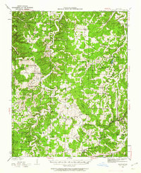
1933 · Stoutland
USGS Topo · 1:62,500
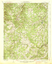
1938 · Stoutland
USGS Topo · 1:62,500
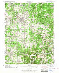
1941 · Lebanon
USGS Topo · 1:62,500
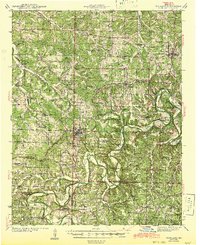
1943 · Richland
USGS Topo · 1:62,500
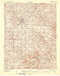
1943 · Lebanon
USGS Topo · 1:62,500
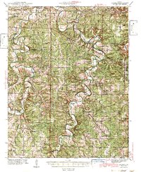
1943 · Drynob
USGS Topo · 1:62,500
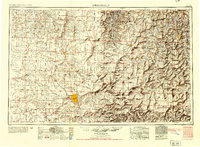
1954 · Springfield
USGS Topo · 1:250,000
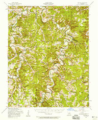
1954 · Drynob
USGS Topo · 1:62,500
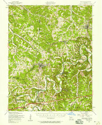
1954 · Richland
USGS Topo · 1:62,500
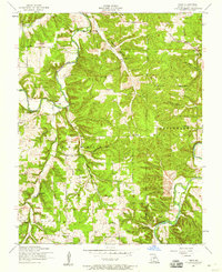
1954 · Drew
USGS Topo · 1:24,000