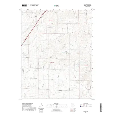
2017 Map of Oakland
USGS Topo · Published 2017About this map
Carrol Junction sits at the northern edge of this Laclede County landscape, where the historic corridor of Rte 66 and Old RTE 66 cuts across the Ozark plateau. The terrain is defined by a dense network of drainages and named hollows, such as Wildcat Hollow and Pig Pen Hollow, which feed into larger water bodies like Dry Auglaize Cr and the S Fork Crooked Cr. These valleys reveal a pattern of rural Missouri life, with isolated burial grounds like Lillard Cem and Jarrell Cem positioned near watercourses.
Find a feature on this map
84 named features on this map. Tap any name to fly to it.
Don’t see what you’re looking for? This feature index may not catch every label — zoom into the map to look around manually.
Map Details
Editions of this 2017 Oakland Map
This is the sole edition of this map. No revisions or reprints were ever made.
Other maps of this area
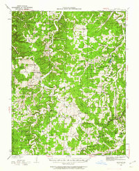
1933 · Stoutland
USGS Topo · 1:62,500
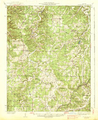
1938 · Stoutland
USGS Topo · 1:62,500
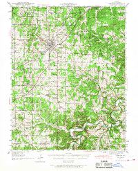
1941 · Lebanon
USGS Topo · 1:62,500
1943 · Richland
USGS Topo · 1:62,500
1943 · Lebanon
USGS Topo · 1:62,500
1943 · Drynob
USGS Topo · 1:62,500
1954 · Springfield
USGS Topo · 1:250,000
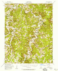
1954 · Drynob
USGS Topo · 1:62,500
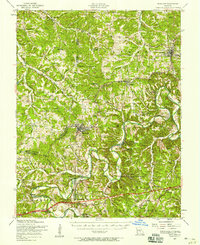
1954 · Richland
USGS Topo · 1:62,500
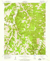
1954 · Drew
USGS Topo · 1:24,000