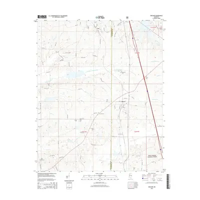
2015 Map of Oakland
USGS Topo · Published 2015About this map
Oakland and Enid anchor this Mississippi landscape where the borders of Tallahatchie and Yalobusha counties meet. The area is defined by the extensive drainage systems of North Fork Tillatoba Creek and Sandy Cr, which feed into the varied topography of the Holly Springs National Forest. For researchers of local history and genealogy, the map provides an exceptional density of family-named burial sites, including Saint Paul Cem, Mount Pisgah Cem, and the Carr Cemeteries in the eastern reaches. The road network, comprising routes like Oakland-Enid Rd and Mudline Rd, connects these rural hubs through a landscape of creek bottoms and forested ridges, including the distinct terrain surrounding Yocona Ridge Rd.
Find a feature on this map
91 named features on this map. Tap any name to fly to it.
Don’t see what you’re looking for? This feature index may not catch every label — zoom into the map to look around manually.
Map Details
Editions of this 2015 Oakland Map
This is the sole edition of this map. No revisions or reprints were ever made.
Other maps of this area

1932 · Philipp
USGS Topo · 1:48,000

1935 · Crowder
USGS Topo · 1:62,500

1935 · Philipp
USGS Topo · 1:62,500

1939 · Crowder
USGS Topo · 1:62,500

1939 · Philipp
USGS Topo · 1:62,500

1948 · Helena
USGS Topo · 1:250,000

1950 · Helena
USGS Topo · 1:250,000

1953 · Greenwood
USGS Topo · 1:250,000

1953 · West Point
USGS Topo · 1:250,000

1954 · Grenada
USGS Topo · 1:62,500