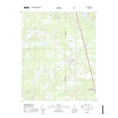
2018 Map of Oakland
USGS Topo · Published 2018About this map
Oakland and Enid anchor this North Mississippi landscape, where the terrain transitions into the southeastern reaches of the Holly Springs National Forest. The map is particularly dense with small-scale family and community landmarks, featuring an extensive network of cemeteries such as Saint Paul Cem, Mount Pisgah Cem, and the Parrish Henderson Cem that serve as essential markers for local genealogical research.
Find a feature on this map
89 named features on this map. Tap any name to fly to it.
Don’t see what you’re looking for? This feature index may not catch every label — zoom into the map to look around manually.
Map Details
Editions of this 2018 Oakland Map
This is the sole edition of this map. No revisions or reprints were ever made.
Other maps of this area
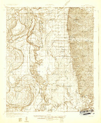
1932 · Philipp
USGS Topo · 1:48,000
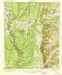
1935 · Crowder
USGS Topo · 1:62,500
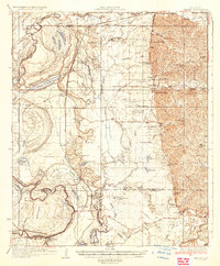
1935 · Philipp
USGS Topo · 1:62,500
1939 · Crowder
USGS Topo · 1:62,500
1939 · Philipp
USGS Topo · 1:62,500
1948 · Helena
USGS Topo · 1:250,000
1950 · Helena
USGS Topo · 1:250,000
1953 · Greenwood
USGS Topo · 1:250,000
1953 · West Point
USGS Topo · 1:250,000
1954 · Grenada
USGS Topo · 1:62,500