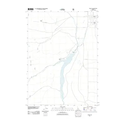
2011 Map of Oakley
USGS Topo · Published 2011About this map
Goose Creek serves as the central lifeline for this high-desert agricultural landscape, where the substantial reservoir formed by the Oakley Dam supports the surrounding irrigation network. The settlement of Oakley sits at the northeastern edge of the quadrangle, defined by a grid of streets including W Main St, N College St, and Church Ave. Outside the town center, the Oakley Municipal Airport provides a key transportation link for the rural community.
Find a feature on this map
25 named features on this map. Tap any name to fly to it.
Don’t see what you’re looking for? This feature index may not catch every label — zoom into the map to look around manually.
Map Details
Editions of this 2011 Oakley Map
This is the sole edition of this map. No revisions or reprints were ever made.
Other maps of this area

1954 · Pocatello
USGS Topo · 1:250,000

1955 · Twin Falls
USGS Topo · 1:250,000

1958 · Twin Falls
USGS Topo · 1:250,000

1958 · Pocatello
USGS Topo · 1:250,000
1965 · Buckhorn Canyon
USGS Topo · 1:24,000
1968 · Basin
USGS Topo · 1:24,000
1968 · Blue Hill
USGS Topo · 1:24,000
1968 · Marion SE
USGS Topo · 1:24,000
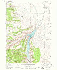
1968 · Oakley
USGS Topo · 1:24,000
1968 · Lyman Pass
USGS Topo · 1:24,000