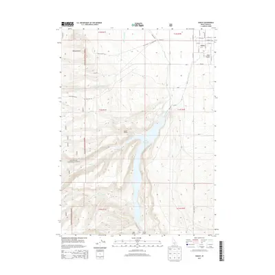
2013 Map of Oakley
USGS Topo · Published 2013About this map
Oakley is situated at the edge of the high desert and mountain foothills, serving as a hub for local agricultural and aviation activities via the Oakley Municipal Airport. The landscape is dominated by the Lower Goose Creek Reservoir, a vital water source fed by Goose Creek and Trapper Cr. To the west, the boundary of the Sawtooth National Forest marks a transition into more varied terrain characterized by Mackey Canyon and Walker Hollow. This 2013 survey captures the intricate network of water management features like the West Canal and remote mountain access ways such as Mullen Ranch Rd and Bostetter Rd, which connect the town center to the surrounding wilderness and ranching lands.
Find a feature on this map
39 named features on this map. Tap any name to fly to it.
Don’t see what you’re looking for? This feature index may not catch every label — zoom into the map to look around manually.
Map Details
Editions of this 2013 Oakley Map
This is the sole edition of this map. No revisions or reprints were ever made.
Other maps of this area

1954 · Pocatello
USGS Topo · 1:250,000

1955 · Twin Falls
USGS Topo · 1:250,000

1958 · Twin Falls
USGS Topo · 1:250,000

1958 · Pocatello
USGS Topo · 1:250,000

1965 · Buckhorn Canyon
USGS Topo · 1:24,000

1968 · Basin
USGS Topo · 1:24,000
1968 · Blue Hill
USGS Topo · 1:24,000

1968 · Marion SE
USGS Topo · 1:24,000
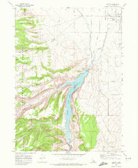
1968 · Oakley
USGS Topo · 1:24,000

1968 · Lyman Pass
USGS Topo · 1:24,000