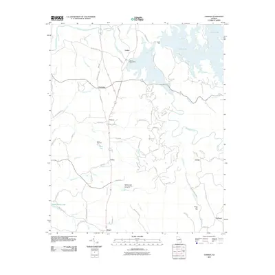
2011 Map of Oakman
USGS Topo · Published 2011About this map
The Coosawattee River defines the northern reaches of this landscape, where the massive Carters Dam creates the expansive Carters Lake and is supported by the nearby Carters Reregulation Dam. This 2011 survey captures a series of small, rural communities connected by a network of state routes and country roads like Old Highway 411 and Pearl Johnson Rd NE. The settlement of Oakman serves as a central point, featuring the Oakman Post Office, while the surrounding terrain is marked by smaller locales such as Petersburg, Colima, Sweden, and Ranger. Significant water control features like Tillman Lake Dam and the Sallacoa Creek Watershed Dam Number 77 suggest a landscape managed for both power and flood control. The topographic detail follows the drainage of Talking Rock Creek and Lick Creek, tracing the low-lying areas around Big Ridge.
Find a feature on this map
76 named features on this map. Tap any name to fly to it.
Don’t see what you’re looking for? This feature index may not catch every label — zoom into the map to look around manually.
Map Details
Editions of this 2011 Oakman Map
This is the sole edition of this map. No revisions or reprints were ever made.
Other maps of this area

1886 · Dalton
USGS Topo · 1:125,000

1890 · Cartersville
USGS Topo · 1:125,000

1891 · Cartersville
USGS Topo · 1:125,000

1892 · Dalton
USGS Topo · 1:125,000

1896 · Cartersville
USGS Topo · 1:125,000

1897 · Dalton
USGS Topo · 1:125,000

1914 · Talking Rock
USGS Topo · 1:62,500

1916 · Talking Rock
USGS Topo · 1:62,500

1941 · Adairsville
USGS Topo · 1:62,500

1944 · Adairsville
USGS Topo · 1:62,500