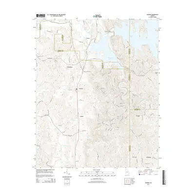
2014 Map of Oakman
USGS Topo · Published 2014About this map
Oakman and Petersburg serve as central nodes in this North Georgia landscape, where the confluence of regional history and modern water management is clearly visible. The eastern portion of the map is dominated by the dramatic topography surrounding Carters Lake and the Reregulation Reservoir, which together harness the flow of the Coosawattee River. This hydraulic system shapes the local geography, creating a sharp contrast between the high ridges of Blalock Mtn and the lower farming valleys.
Find a feature on this map
121 named features on this map. Tap any name to fly to it.
Don’t see what you’re looking for? This feature index may not catch every label — zoom into the map to look around manually.
Map Details
Editions of this 2014 Oakman Map
This is the sole edition of this map. No revisions or reprints were ever made.
Other maps of this area

1886 · Dalton
USGS Topo · 1:125,000

1890 · Cartersville
USGS Topo · 1:125,000

1891 · Cartersville
USGS Topo · 1:125,000

1892 · Dalton
USGS Topo · 1:125,000

1896 · Cartersville
USGS Topo · 1:125,000

1897 · Dalton
USGS Topo · 1:125,000

1914 · Talking Rock
USGS Topo · 1:62,500

1916 · Talking Rock
USGS Topo · 1:62,500

1941 · Adairsville
USGS Topo · 1:62,500

1944 · Adairsville
USGS Topo · 1:62,500