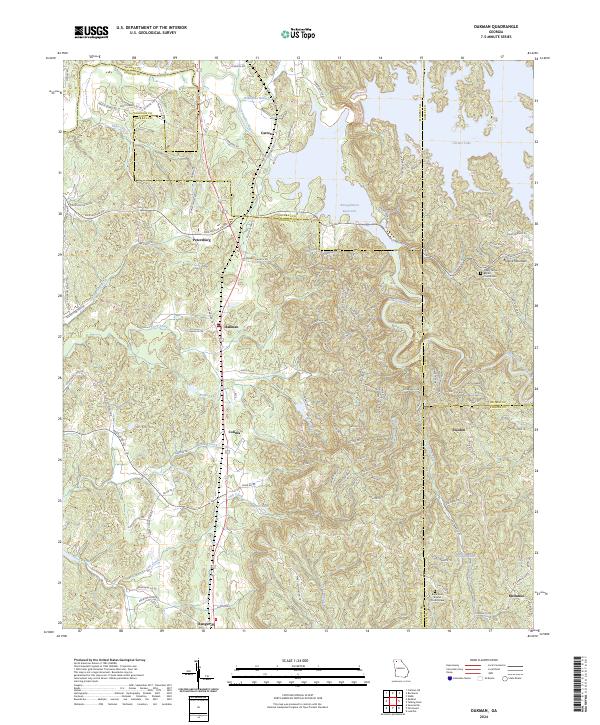
2024 Map of Oakman
USGS Topo · Published 2024About this map
Oakman and the surrounding North Georgia hill country are defined by the winding course of the Coosawattee River and the significant hydraulic engineering at the Reregulation Reservoir. This landscape is marked by the meeting of several county lines, including Murray, Gordon, Gilmer, and Pickens, which converge amidst the ridgelines and creek valleys. Historically significant sites such as Hopewell Church and the Shady Grove Baptist Church Cem serve as long-standing community anchors for local families. The map illustrates the transition from the upland heights of Blalock Mountain down to the fertile bottoms along Talking Rock Creek and Redbud Creek. Small settlements like Colima, Sweden, and Petersburg are linked by a network of rural roads such as Nicklesville Rd and Old Hwy 411, reflecting the area's agricultural and timber-based spatial organization.
Find a feature on this map
127 named features on this map. Tap any name to fly to it.
Don’t see what you’re looking for? This feature index may not catch every label — zoom into the map to look around manually.
Map Details
Editions of this 2024 Oakman Map
This is the sole edition of this map. No revisions or reprints were ever made.
Other maps of this area

1886 · Dalton
USGS Topo · 1:125,000

1890 · Cartersville
USGS Topo · 1:125,000

1891 · Cartersville
USGS Topo · 1:125,000

1892 · Dalton
USGS Topo · 1:125,000

1896 · Cartersville
USGS Topo · 1:125,000

1897 · Dalton
USGS Topo · 1:125,000

1914 · Talking Rock
USGS Topo · 1:62,500

1916 · Talking Rock
USGS Topo · 1:62,500

1941 · Adairsville
USGS Topo · 1:62,500

1944 · Adairsville
USGS Topo · 1:62,500