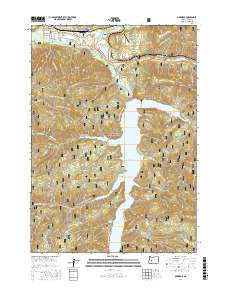
2017 Map of Oakridge
USGS Topo · Published 2017About this map
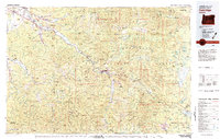
Oakridge and Willamette City sit at the confluence of the Middle Fork Willamette River and Salmon Creek, serving as a gateway to the high Cascades within the Willamette National Forest. The landscape is dominated by steep timbered slopes rising toward Larison Rock and Aubrey Mountain, while the valley floor is punctuated by the Aubrey Mountain Airstrip. The southern half of the map is defined by the narrow, winding waters of Hills Creek Lake, which reaches into the forest toward Stony Cove. Extensive forest service roads, such as Natl Forest Develop Road 21 RD, crisscross the terrain, reflecting the area's legacy of timber management and modern recreation. High-country landmarks like Tufti Mtn and Kitson Ridge overlook the intricate network of tributaries feeding into the lake, including Modoc Cr and Bull Cr.
Find a feature on this map
43 named features on this map. Tap any name to fly to it.
Don’t see what you’re looking for? This feature index may not catch every label — zoom into the map to look around manually.
Map Details
Editions of this 2017 Oakridge Map
This is the sole edition of this map. No revisions or reprints were ever made.
Other maps of this area
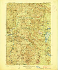
1925 · Waldo Lake
USGS Topo · 1:125,000
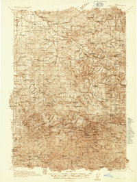
1935 · Lowell
USGS Topo · 1:96,000
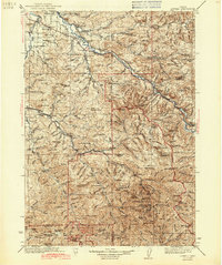
1942 · Lowell
USGS Topo · 1:125,000
1955 · Hardesty Mtn
USGS Topo · 1:62,500
1955 · Fairview Peak
USGS Topo · 1:62,500
1956 · Oakridge
USGS Topo · 1:62,500
1956 · Sardine Butte
USGS Topo · 1:62,500

1958 · Roseburg
USGS Topo · 1:250,000

1959 · Roseburg
USGS Topo · 1:250,000
1983 · Oakridge
USGS Topo · 1:100,000