
1956 Map of Oakridge
USGS Topo · Published 1958About this map
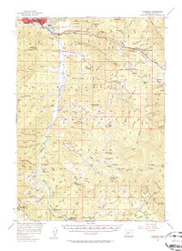
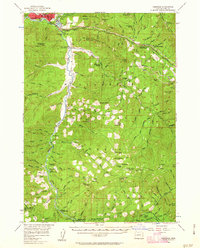
Oakridge and Willamette City serve as the primary hubs in this mid-century look at Lane County, where the Middle Fork Willamette River transitions into the timber-heavy landscape of the Willamette National Forest. A critical moment in the region's engineering history is documented with the Hills Creek Dam (Under Construction), a project that would soon alter the hydrology and landscape south of town. The transportation network is dominated by the Southern Pacific Railroad, which follows Salt Creek through a series of tunnels and over the Willamette Divide toward the summit.
Find a feature on this map
130 named features on this map. Tap any name to fly to it.
Don’t see what you’re looking for? This feature index may not catch every label — zoom into the map to look around manually.
Map Details
Editions of this 1956 Oakridge Map
3 editions found
Other maps of this area

1917 · Diamond Lake
USGS Topo · 1:125,000

1925 · Waldo Lake
USGS Topo · 1:125,000

1935 · Lowell
USGS Topo · 1:96,000

1942 · Lowell
USGS Topo · 1:125,000

1955 · Hardesty Mtn
USGS Topo · 1:62,500

1955 · Illahee Rock
USGS Topo · 1:62,500

1955 · Fairview Peak
USGS Topo · 1:62,500

1955 · Chucksney Mtn
USGS Topo · 1:62,500

1956 · Toketee Falls
USGS Topo · 1:62,500

1956 · Waldo Lake
USGS Topo · 1:62,500