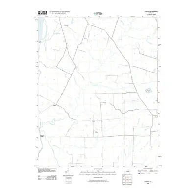
2010 Map of Oakton
USGS Topo · Published 2010About this map
Mississippi River waters define the western edge of this Kentucky landscape, where the alluvial bottomlands meet the rising elevation of Chalk Bluff. The inland terrain is characterized by a series of drainage systems, including the serpentine Whayne Branch and the prominent Dry Lake area, which suggest the complex hydrology of the region near the river. The settlement pattern here is dispersed, centered on small communities like Oakton, Hailwell, and South Columbus.
Find a feature on this map
44 named features on this map. Tap any name to fly to it.
Don’t see what you’re looking for? This feature index may not catch every label — zoom into the map to look around manually.
Map Details
Editions of this 2010 Oakton Map
This is the sole edition of this map. No revisions or reprints were ever made.
Other maps of this area

1939 · Wickliffe
USGS Topo · 1:62,500

1939 · Hickman
USGS Topo · 1:62,500

1951 · Cayce
USGS Topo · 1:24,000

1951 · Oakton
USGS Topo · 1:24,000

1951 · Hickman
USGS Topo · 1:24,000

1951 · Wolf Island
USGS Topo · 1:24,000

1951 · Wickliffe SW
USGS Topo · 1:24,000

1951 · Arlington
USGS Topo · 1:24,000

1951 · Milburn
USGS Topo · 1:24,000

1952 · Clinton
USGS Topo · 1:24,000