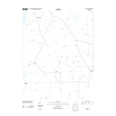
2013 Map of Oakton
USGS Topo · Published 2013About this map
Obion Cr and its winding tributaries define the rural landscape of Hickman County, where small agricultural settlements have persisted for generations. Centered on the community of Oakton, this survey reveals a network of country roads like Hickman Rd and Taylor Rd connecting scattered farmsteads and family burial grounds. To the east, the larger town of Clinton borders the quadrangle, while the northwestern edge is shaped by the proximity of the Mississippi River and Whayne Lake.
Find a feature on this map
54 named features on this map. Tap any name to fly to it.
Don’t see what you’re looking for? This feature index may not catch every label — zoom into the map to look around manually.
Map Details
Editions of this 2013 Oakton Map
This is the sole edition of this map. No revisions or reprints were ever made.
Other maps of this area

1939 · Wickliffe
USGS Topo · 1:62,500

1939 · Hickman
USGS Topo · 1:62,500

1951 · Cayce
USGS Topo · 1:24,000

1951 · Oakton
USGS Topo · 1:24,000

1951 · Hickman
USGS Topo · 1:24,000

1951 · Wolf Island
USGS Topo · 1:24,000

1951 · Wickliffe SW
USGS Topo · 1:24,000

1951 · Arlington
USGS Topo · 1:24,000

1951 · Milburn
USGS Topo · 1:24,000

1952 · Clinton
USGS Topo · 1:24,000