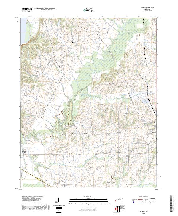
2022 Map of Oakton
USGS Topo · Published 2022About this map
Clinton serves as a primary hub in this West Kentucky landscape, where the town grid meets a network of country roads and state highways. The terrain is defined by a dense system of waterways including Obion Creek, Cane Cr, and Hollingsworth Cr, which carve through the land near the Chalk Bluff elevation. This modern survey illustrates the persistent rural character of Hickman County, showing established settlements like Oakton and Hailwell alongside numerous generational landmarks.
Find a feature on this map
68 named features on this map. Tap any name to fly to it.
Don’t see what you’re looking for? This feature index may not catch every label — zoom into the map to look around manually.
Map Details
Editions of this 2022 Oakton Map
This is the sole edition of this map. No revisions or reprints were ever made.
Other maps of this area

1939 · Wickliffe
USGS Topo · 1:62,500

1939 · Hickman
USGS Topo · 1:62,500

1951 · Cayce
USGS Topo · 1:24,000

1951 · Oakton
USGS Topo · 1:24,000

1951 · Hickman
USGS Topo · 1:24,000

1951 · Wolf Island
USGS Topo · 1:24,000

1951 · Wickliffe SW
USGS Topo · 1:24,000

1951 · Arlington
USGS Topo · 1:24,000

1951 · Milburn
USGS Topo · 1:24,000

1952 · Clinton
USGS Topo · 1:24,000