Loading...
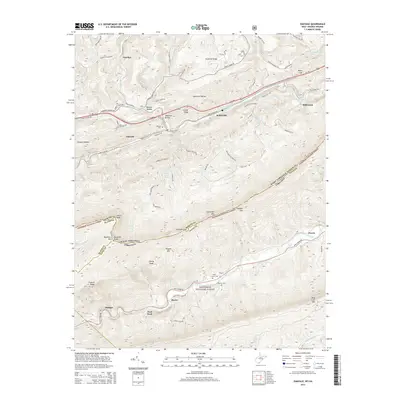
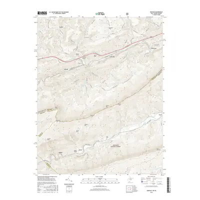
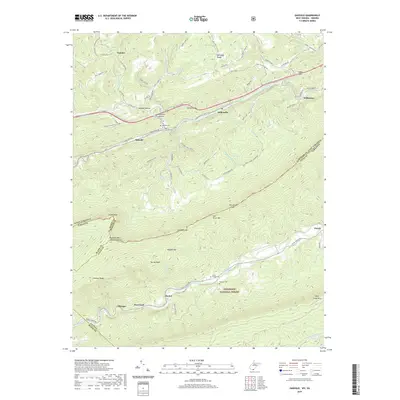
Loading map...1965 Map of Oakvale
USGS Topo · Published 1975About this map
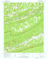
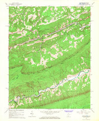
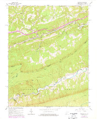
The East River valley and the high ridgeline of East River Mountain dominate this mid-1960s study of the West Virginia and Virginia borderlands. The corridor of the Norfolk and Western RR facilitates transport through the rugged terrain, passing through the Hales Gap Tunnel and serving settlements like Oakvale and Kellysville. The map details a landscape transition from the established bottomland farms and hamlets of Willowton and Penvir to the dense, protected woodlands of the Jefferson National Forest to the south.
Find a feature on this map
57 named features on this map. Tap any name to fly to it.
Don’t see what you’re looking for? This feature index may not catch every label — zoom into the map to look around manually.
Map Details
Date Portrayed1965
Date Published1975
PublisherU.S. Geological Survey
Map TypeTopographic
Scale1:24,000
Physical Dimensions21.9 x 26.8 inches
Editions of this 1965 Oakvale Map
3 editions found
Historical Maps of Oakvale Through Time
6 maps found

Featured Locations
Source Details
SourceU.S. Geological Survey
CopyrightPublic Domain