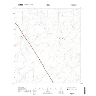
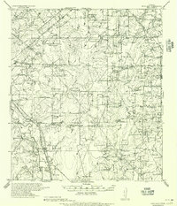
2019 Map of Oakville
USGS Topo · Published 2019About this map
Oakville stands as the primary settlement on this landscape, situated near the banks of Sulphur Cr just north of where it joins the Nueces River. The terrain is defined by a dense network of drainage features, including uniquely named landforms such as Graveyard Hollow, Friday Hollow, and Lavena Hollow, alongside Vatoss Gully and Little Gamble Gully. These natural contours are crossed by a grid of ranch and farm roads, reflecting a contemporary South Texas landscape of agriculture and ranching.
Find a feature on this map
47 named features on this map. Tap any name to fly to it.
Don’t see what you’re looking for? This feature index may not catch every label — zoom into the map to look around manually.
Map Details
Editions of this 2019 Oakville Map
This is the sole edition of this map. No revisions or reprints were ever made.
Other maps of this area
1920 · Mikeska
USGS Topo · 1:125,000
1925 · Oakville No. 4
USGS Topo · 1:48,000
1927 · Oakville
USGS Topo · 1:62,500
1936 · Pettus
USGS Topo · 1:62,500
1953 · Crystal City
USGS Topo · 1:250,000

1953 · Beeville
USGS Topo · 1:250,000
1954 · Fleming
USGS Topo · 1:62,500
1955 · Crystal City
USGS Topo · 1:250,000
1956 · Suniland
USGS Topo · 1:62,500

1956 · Beeville
USGS Topo · 1:250,000