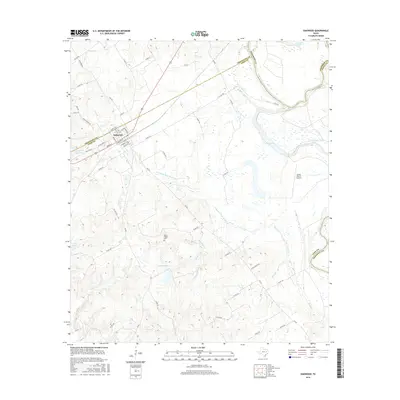
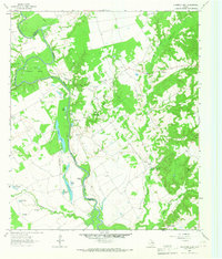
2016 Map of Oakwood
USGS Topo · Published 2016About this map
Oakwood serves as the primary hub for this section of the Texas interior, situated where the borders of Freestone and Leon counties meet. The landscape is defined by the winding course of the Trinity River and its complex network of oxbow lakes and wetlands, including Glaze Lake, Criminal Lake, and McCrakin Lake. This riparian environment transitions into higher, rolling ground to the south and west, where the Mount Pisgah Cem stands as a focal point for local family history and genealogy. The map details a transition from river-bottom wetlands to ranchland and timbered tracts, connected by a dense web of secondary roads like Co RD 239 and Co RD 342. Smaller watercourses like Northwest Fork Boons Cr and Ringold Cr drain the central region, while the Carter Ranch Airport indicates modern land use and accessibility in this rural stretch of East Texas.
Find a feature on this map
66 named features on this map. Tap any name to fly to it.
Don’t see what you’re looking for? This feature index may not catch every label — zoom into the map to look around manually.
Map Details
Editions of this 2016 Oakwood Map
This is the sole edition of this map. No revisions or reprints were ever made.
Other maps of this area
1951 · Elkhart
USGS Topo · 1:62,500

1953 · Palestine
USGS Topo · 1:250,000

1957 · Palestine
USGS Topo · 1:250,000
1964 · Long Lake
USGS Topo · 1:24,000
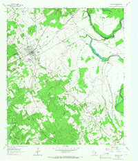
1964 · Oakwood
USGS Topo · 1:24,000
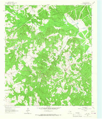
1964 · Flo
USGS Topo · 1:24,000
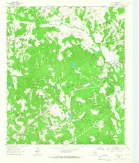
1964 · Keechi
USGS Topo · 1:24,000
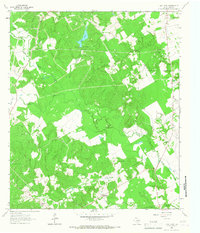
1964 · Lake Leon
USGS Topo · 1:24,000
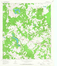
1964 · Butler
USGS Topo · 1:24,000
1964 · Stanmire Lake
USGS Topo · 1:24,000