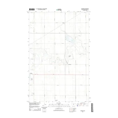
2014 Map of Oakwood
USGS Topo · Published 2014About this map
Oakwood and Cashel anchor this rural Walsh County landscape, where the meandering course of the Park River creates a complex system of oxbows and bends. The river's path is marked by distinctive terrain features such as Horseshoe Coulee, while Salt Lake and Willow Cr define the local hydrology to the northeast. This area of North Dakota is characterized by its rigid sectional grid of gravel roads and county routes, including CR-4 and ND-17, which facilitate the region's agricultural transport. Aviation is represented by local facilities like Hutson Field Airport and Kelly's Field Airport, located near the edge of Grafton. The map provides a precise look at the drainage patterns and township layout of the Red River Valley during the early 21st century.
Find a feature on this map
28 named features on this map. Tap any name to fly to it.
Don’t see what you’re looking for? This feature index may not catch every label — zoom into the map to look around manually.
Map Details
Editions of this 2014 Oakwood Map
This is the sole edition of this map. No revisions or reprints were ever made.
Other maps of this area
1918 · Acton
USGS Topo · 1:62,500
1939 · Drayton
USGS Topo · 1:62,500
1939 · Glasston
USGS Topo · 1:62,500
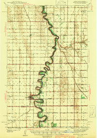
1941 · Drayton
USGS Topo · 1:62,500
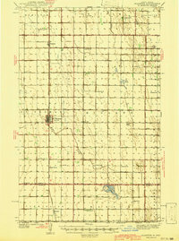
1941 · Glasston
USGS Topo · 1:62,500
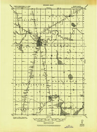
1943 · Grafton
USGS Topo · 1:62,500

1952 · Thief River Falls
USGS Topo · 1:250,000

1956 · Thief River Falls
USGS Topo · 1:250,000

1957 · Thief River Falls
USGS Topo · 1:250,000
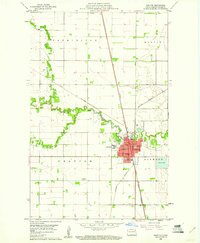
1960 · Grafton
USGS Topo · 1:24,000